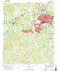
1969 Map of Lancaster
USGS Topo · Published 1984About this map
Lancaster serves as the industrial and civic heart of this region, shown here as a dense network of textile-era infrastructure and residential expansion. The map details a landscape transitioning from rural agricultural crossroads to a more integrated urban center, anchored by the Courthouse, City Hall, and the Univ of South Carolina Extension College. Transportation routes are dominated by the Lancaster and Chester and Southern railroads, which facilitated the movement of goods toward the Catawba River to the west. Surrounding the main settlement, numerous community landmarks like Cem Red Hill, Mt Moriah Ch, and the McDonald Green Sch highlight the dispersed nature of earlier family-centered locales. The presence of several crossroads, such as Gooch Crossroads and Fleming Crossroads, suggests the enduring importance of these historic meeting points in the local geography.
Find a feature on this map
71 named features on this map. Tap any name to fly to it.
Don’t see what you’re looking for? This feature index may not catch every label — zoom into the map to look around manually.
Map Details
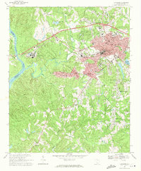
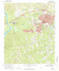
Editions of this 1969 Lancaster Map
3 editions found
Other maps of this area

1941 · Spartanburg
USGS Topo · 1:250,000

1953 · Spartanburg
USGS Topo · 1:250,000

1960 · Spartanburg
USGS Topo · 1:250,000

1963 · Spartanburg
USGS Topo · 1:250,000

1964 · Spartanburg
USGS Topo · 1:250,000

1968 · Van Wyck
USGS Topo · 1:24,000

1968 · Catawba
USGS Topo · 1:24,000

1968 · Lancaster SE
USGS Topo · 1:24,000

1968 · Heath Springs
USGS Topo · 1:24,000

1969 · Antioch
USGS Topo · 1:24,000