
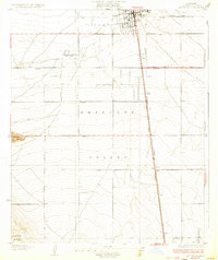
1933 Map of Lancaster
USGS Topo · Published 1933About this map
The Antelope Valley high desert landscape is captured here in the early 1930s, showing a grid of arterial roads like Del Sur Road and Tierra Bonita Road beginning to define the future growth of Lancaster. While the main town site is clustered around the Southern Pacific tracks, the outlying area contains specialized facilities like the Lancaster Tubercular Rest Home, reflecting the era's reliance on dry desert air for medical treatment. To the southwest, the rise of Quartz Hill and the rugged line of Ritter Ridge break the flat valley floor, marking the transition from the developing town center to the more varied terrain of the foothills. Along the railroad, smaller named stops like Denis punctuate the landscape, serving as vital links for the regional economy before the massive post-war expansion transformed the region into a major aerospace and suburban hub.
Find a feature on this map
19 named features on this map. Tap any name to fly to it.
Don’t see what you’re looking for? This feature index may not catch every label — zoom into the map to look around manually.
Map Details
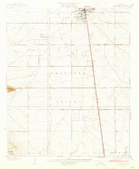
Editions of this 1933 Lancaster Map
3 editions found
Other maps of this area

1915 · Elizabeth Lake
USGS Topo · 1:125,000

1917 · Elizabeth Lake
USGS Topo · 1:125,000

1930 · Oban
USGS Topo · 1:24,000

1930 · Roosevelt School
USGS Topo · 1:24,000

1930 · Lancaster
USGS Topo · 1:24,000

1930 · Pearland
USGS Topo · 1:24,000

1930 · Tierra Bonita
USGS Topo · 1:24,000

1931 · Del Sur
USGS Topo · 1:24,000

1931 · Esperanza School
USGS Topo · 1:24,000

1932 · Red Rover
USGS Topo · 1:24,000