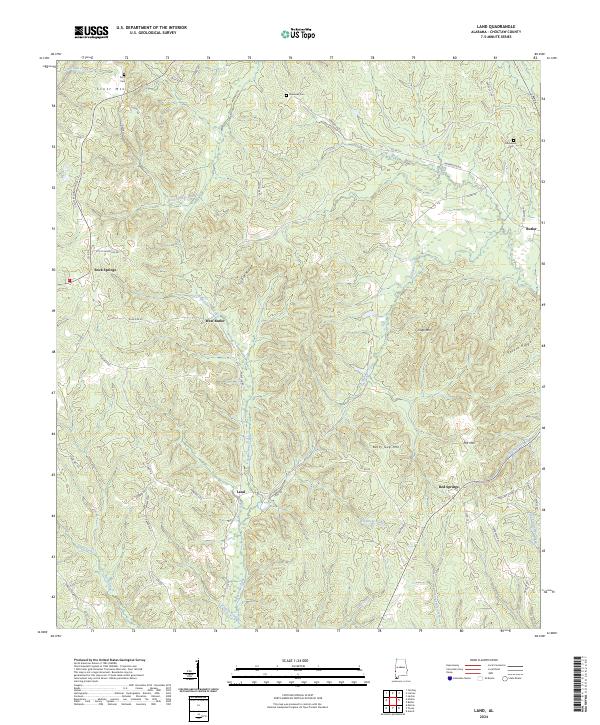
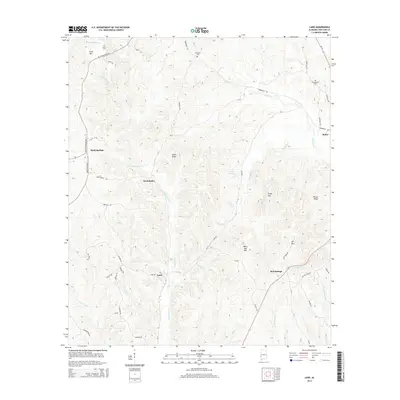
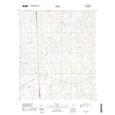
2024 Map of Land
USGS Topo · Published 2024About this map
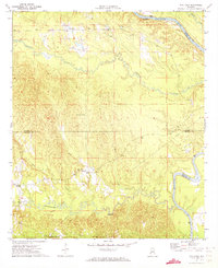
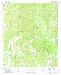
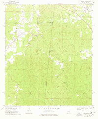
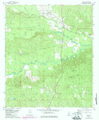
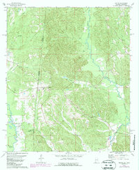
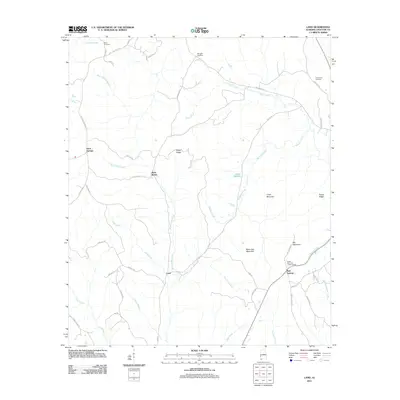
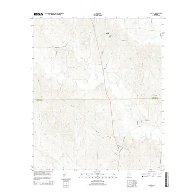
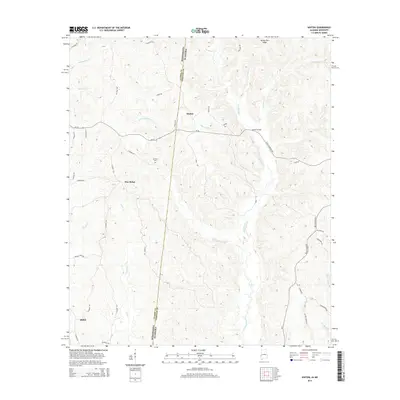
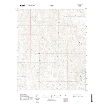
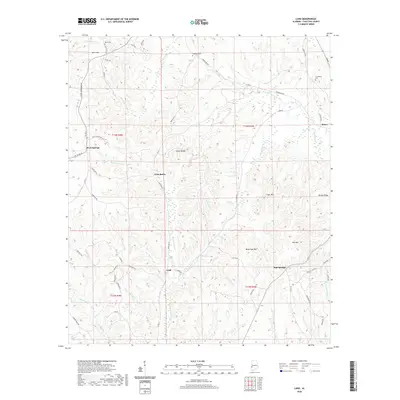
West Butler and the western edge of Butler serve as the primary nodes of settlement in this part of Choctaw County. The landscape is defined by a dense network of ridges and drainage basins, with Sickle Ridge and Potato Ridge rising above winding waterways like Bogueloosa Creek and Wahalak Creek. Small rural communities are scattered throughout the hills, including Rock Springs and Red Springs, providing localized points of interest for those studying the area's social geography.
Find a feature on this map
61 named features on this map. Tap any name to fly to it.
Don’t see what you’re looking for? This feature index may not catch every label — zoom into the map to look around manually.
Map Details
Editions of this 2024 Land Map
This is the sole edition of this map. No revisions or reprints were ever made.
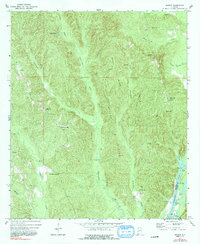
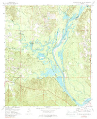
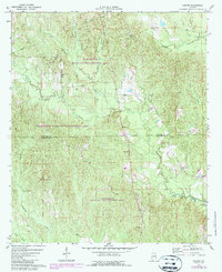
Historical Maps of Butler Through Time
61 maps found
1971 Ararat
Choctaw County, AL
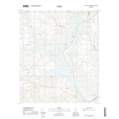
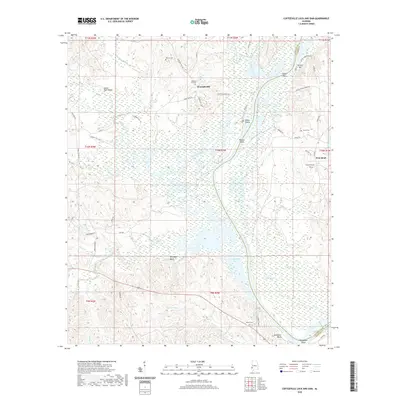
1971 Coffeeville Lock And Dam
Choctaw County, AL
1971 Gaston
Choctaw County, AL
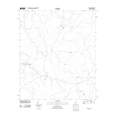
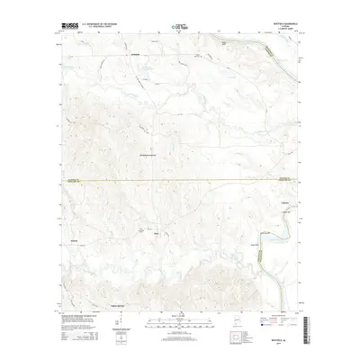
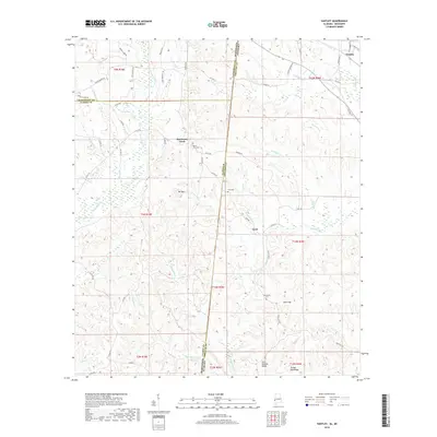
1971 Whitfield
Choctaw County, AL
1974 Hinton
Choctaw County, AL
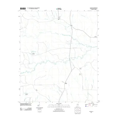
1974 Isney
Choctaw County, AL
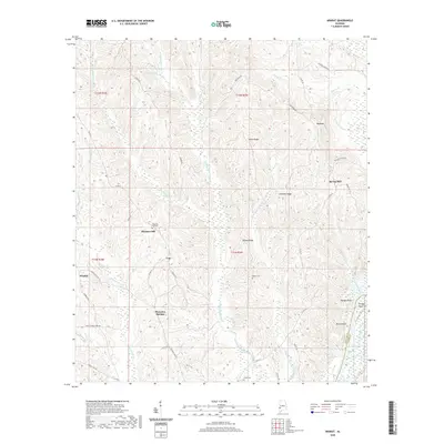
1974 Land
Choctaw County, AL
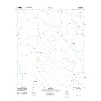
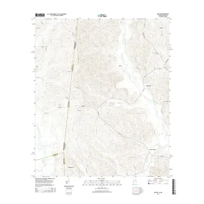
1974 Melvin
Choctaw County, AL
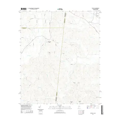
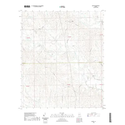
1974 Yantley
Choctaw County, AL
1978 Jachin
Choctaw County, AL
1978 Melvin
Choctaw County, AL
2011 Ararat
Choctaw County, AL
2011 Coffeeville Lock And Dam
Choctaw County, AL
2011 Gaston
Choctaw County, AL
2011 Hinton
Choctaw County, AL
2011 Isney
Choctaw County, AL
2011 Jachin
Choctaw County, AL
2011 Land
Choctaw County, AL
2011 Melvin
Choctaw County, AL
2011 Whitfield
Choctaw County, AL
2011 Yantley
Choctaw County, AL
2014 Ararat
Choctaw County, AL
2014 Coffeeville Lock And Dam
Choctaw County, AL
2014 Gaston
Choctaw County, AL
2014 Hinton
Choctaw County, AL
2014 Isney
Choctaw County, AL
2014 Jachin
Choctaw County, AL
2014 Land
Choctaw County, AL
2014 Melvin
Choctaw County, AL
2014 Whitfield
Choctaw County, AL
2014 Yantley
Choctaw County, AL
2018 Ararat
Choctaw County, AL
2018 Coffeeville Lock And Dam
Choctaw County, AL
2018 Gaston
Choctaw County, AL
2018 Hinton
Choctaw County, AL
2018 Isney
Choctaw County, AL
2018 Jachin
Choctaw County, AL

2018 Land
Choctaw County, AL
2018 Melvin
Choctaw County, AL
2018 Whitfield
Choctaw County, AL
2018 Yantley
Choctaw County, AL
2020 Ararat
Choctaw County, AL
2020 Coffeeville Lock And Dam
Choctaw County, AL
2020 Gaston
Choctaw County, AL
2020 Hinton
Choctaw County, AL
2020 Isney
Choctaw County, AL
2020 Jachin
Choctaw County, AL
2020 Land
Choctaw County, AL
2020 Melvin
Choctaw County, AL
2020 Whitfield
Choctaw County, AL
2020 Yantley
Choctaw County, AL
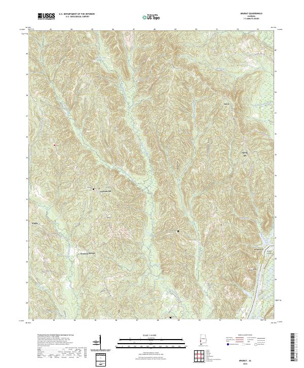
2024 Ararat
Choctaw County, AL
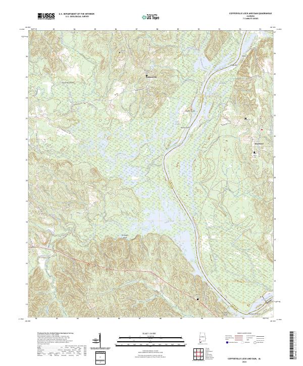
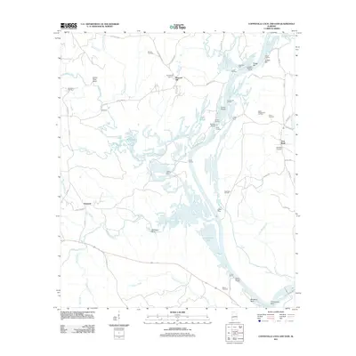
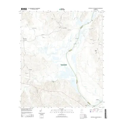
2024 Coffeeville Lock And Dam
Choctaw County, AL
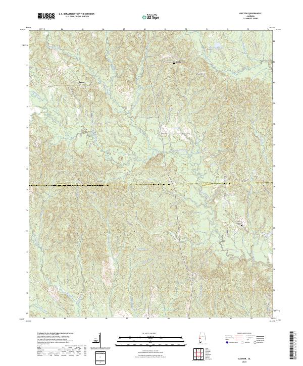
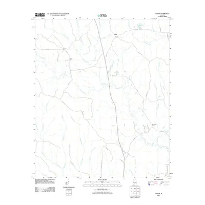
2024 Gaston
Choctaw County, AL
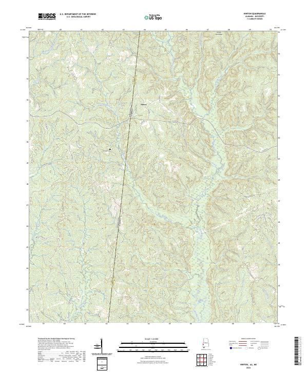
2024 Hinton
Choctaw County, AL
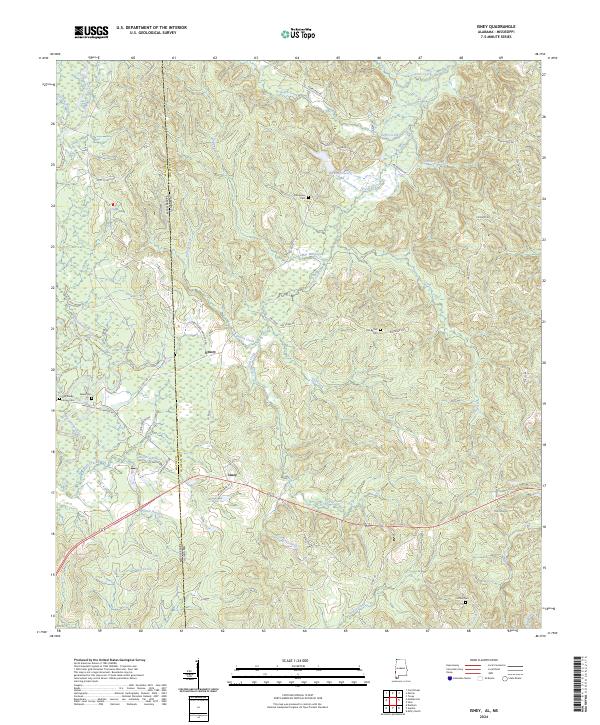
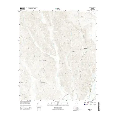
2024 Isney
Choctaw County, AL
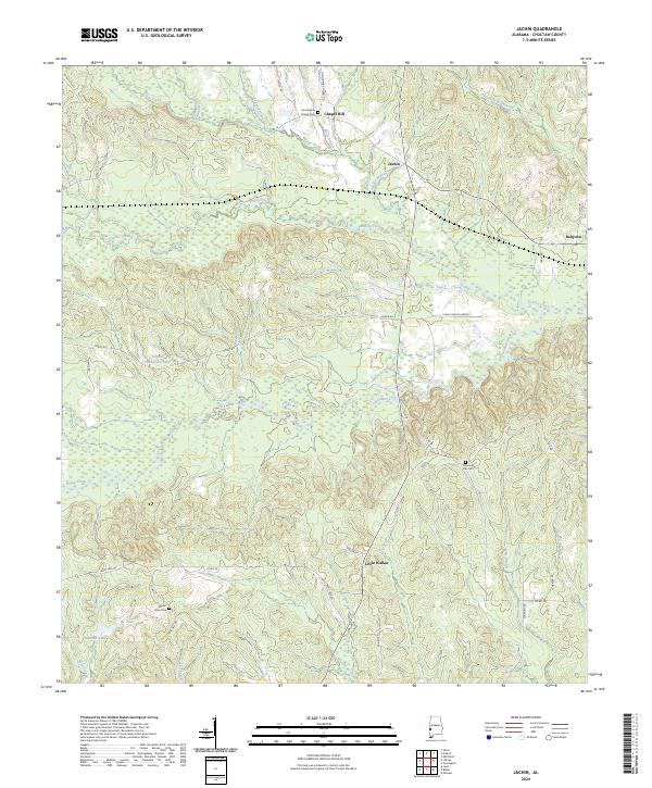
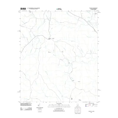
2024 Jachin
Choctaw County, AL
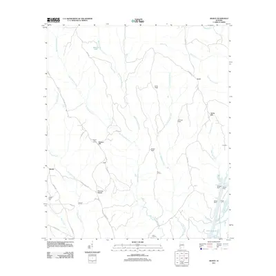
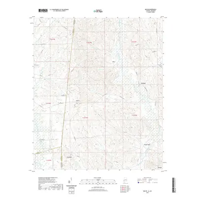
2024 Land
Choctaw County, AL
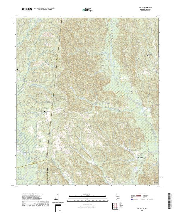
2024 Melvin
Choctaw County, AL
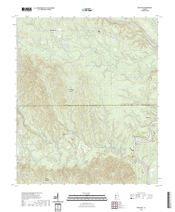
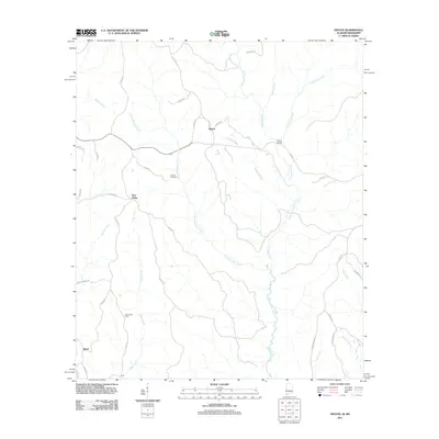
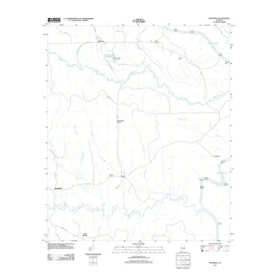
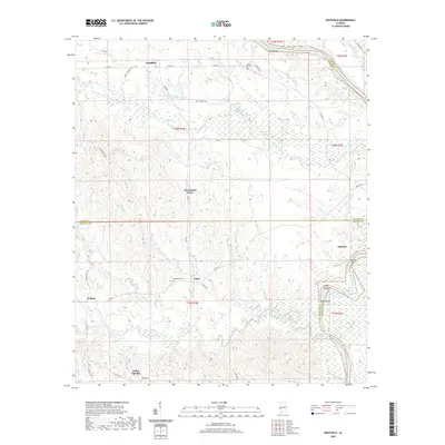
2024 Whitfield
Choctaw County, AL
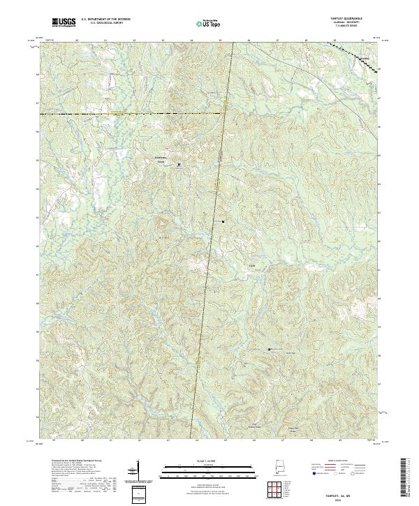
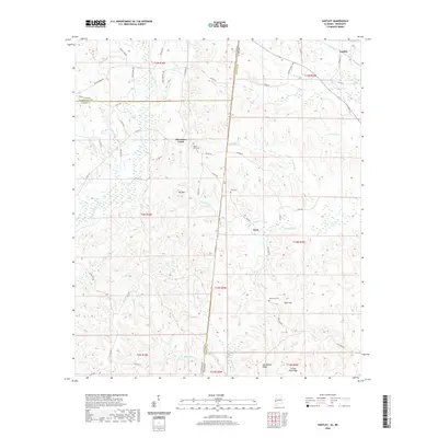
2024 Yantley
Choctaw County, AL