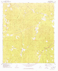
1974 Map of Land
USGS Topo · Published 1978About this map
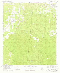
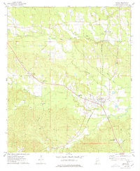
Wahalak Creek and Bogueloosa Creek drain this section of Choctaw County, where the landscape is defined by the central corridor of the St Louis - San Francisco railroad. Small rural communities like Land and West Butler appear as quiet junctions along the rail line and local road networks. The western edge is dominated by Scott Mountain, while the east is marked by the presence of Butler Mountain, which features the Butler Mountain Lookout Tower and a Roadside Park. Numerous country churches and burial grounds, including Rock Springs Ch, Shady Grove Ch, and Providence Cem, are scattered throughout the hills. Industrial activity is visible through several Sandpits and a prominent Pipeline that traverses the terrain northeast to southwest, crossing the meandering path of Wahalak Ch and Lake Meador.
Find a feature on this map
33 named features on this map. Tap any name to fly to it.
Don’t see what you’re looking for? This feature index may not catch every label — zoom into the map to look around manually.
Map Details
Editions of this 1974 Land Map
This is the sole edition of this map. No revisions or reprints were ever made.
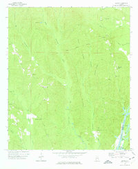
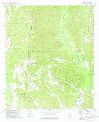
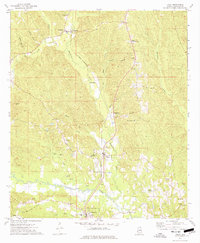
Other maps of this area

1953 · Hattiesburg
USGS Topo · 1:250,000

1953 · Meridian
USGS Topo · 1:250,000

1957 · Meridian
USGS Topo · 1:250,000

1958 · Hattiesburg
USGS Topo · 1:250,000

1965 · Meridian
USGS Topo · 1:250,000
1971 · Ararat
USGS Topo · 1:24,000
1974 · Melvin
USGS Topo · 1:24,000
1974 · Toxey
USGS Topo · 1:24,000
1974 · Yantley
USGS Topo · 1:24,000
1974 · Lisman
USGS Topo · 1:24,000