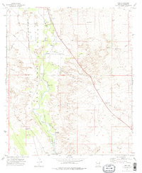
1973 Map of Land
USGS Topo · Published 1976About this map
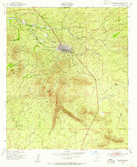
The San Pedro Valley serves as a critical corridor for transport and ancient settlement in this early 1970s survey. The San Pedro River winds through the center of the sheet, flanked by the Southern Pacific Railroad and historical remnants of the region's complex past. Archaeological and historical sites are notably prominent, including the Quiburi Mission Ruins near the southern edge and the Contention Ruins and Boquillas Ruins further north along the riverbanks. These sites, alongside the St David Cem, provide a deep look into the layered occupancy of Cochise County. The landscape is defined by numerous desert washes like Slavin Wash and California Wash that feed into the river, while smaller settlements like Land, Curtis, and Clifford mark the sparse but established ranching and railroad presence in the valley.
Find a feature on this map
36 named features on this map. Tap any name to fly to it.
Don’t see what you’re looking for? This feature index may not catch every label — zoom into the map to look around manually.
Map Details
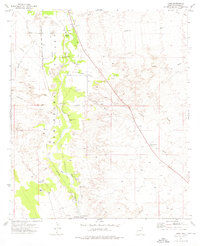
Editions of this 1973 Land Map
2 editions found
Other maps of this area

1915 · Benson
USGS Topo · 1:125,000

1922 · St. David
USGS Topo · 1:62,500

1926 · Whetstone
USGS Topo · 1:62,500

1932 · Fairbank
USGS Topo · 1:62,500

1938 · Huachuca
USGS Topo · 1:62,500

1943 · Benson
USGS Topo · 1:125,000

1948 · Fort Huachuca NE
USGS Topo · 1:24,000
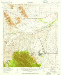
1948 · Fort Huachuca
USGS Topo · 1:62,500
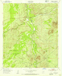
1952 · Fairbank
USGS Topo · 1:24,000
1952 · Tombstone
USGS Topo · 1:24,000