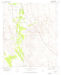
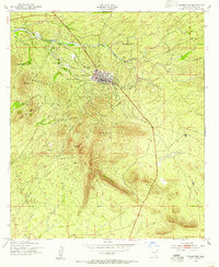
1973 Map of Land
USGS Topo · Published 1976About this map
The San Pedro Valley reveals a rich archaeological and historical landscape within the ancient San Juan de las Boquillas y Nogales land grant. This 1970s survey documents the surviving traces of early Arizona settlements and Spanish-era history along the San Pedro River, notably the Quiburi Mission Ruins and the site of Contention Ruins. The map captures the corridor's transition from a rail-dependent valley to a ranching and agricultural district, preserving the path of the Old Southern Pacific Railroad Grade.
Find a feature on this map
24 named features on this map. Tap any name to fly to it.
Don’t see what you’re looking for? This feature index may not catch every label — zoom into the map to look around manually.
Map Details
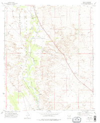
Editions of this 1973 Land Map
2 editions found
Other maps of this area

1915 · Benson
USGS Topo · 1:125,000

1922 · St. David
USGS Topo · 1:62,500

1926 · Whetstone
USGS Topo · 1:62,500

1932 · Fairbank
USGS Topo · 1:62,500

1938 · Huachuca
USGS Topo · 1:62,500

1943 · Benson
USGS Topo · 1:125,000

1948 · Fort Huachuca NE
USGS Topo · 1:24,000
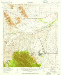
1948 · Fort Huachuca
USGS Topo · 1:62,500
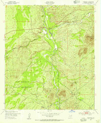
1952 · Fairbank
USGS Topo · 1:24,000
1952 · Tombstone
USGS Topo · 1:24,000