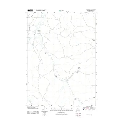
2012 Map of Lander SE
USGS Topo · Published 2012About this map
The Little Popo Agie River carves through this portion of Fremont County, anchoring a landscape defined by an extensive network of irrigation infrastructure including the Grant Young Ditch, Lyons Ditch, and Wise Ditch. These man-made channels reflect the vital importance of water management in supporting local agricultural interests like the Hall Ranch in the northwest corner.
Find a feature on this map
18 named features on this map. Tap any name to fly to it.
Don’t see what you’re looking for? This feature index may not catch every label — zoom into the map to look around manually.
Map Details
Editions of this 2012 Lander SE Map
This is the sole edition of this map. No revisions or reprints were ever made.
Other maps of this area

1952 · Hudson
USGS Topo · 1:24,000

1952 · Lander SE
USGS Topo · 1:24,000

1952 · Lander
USGS Topo · 1:24,000

1952 · Lander NW
USGS Topo · 1:24,000

1953 · Ninemile Hill
USGS Topo · 1:24,000

1953 · Arapahoe
USGS Topo · 1:24,000

1953 · Del Monte Ridge
USGS Topo · 1:24,000

1953 · Weiser Pass
USGS Topo · 1:24,000

1954 · Wolf Point
USGS Topo · 1:24,000

1955 · Lander
USGS Topo · 1:250,000