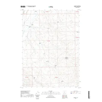
2017 Map of Lander SE
USGS Topo · Published 2017About this map
Lyons Valley and the surrounding high desert terrain define this corner of Fremont County, as mapped by the U.S. Geological Survey in the early 21st century. The landscape is heavily marked by erosional features, from the complex drainage systems of Ballenger Draw and its north and south forks to the prominent elevations of Monument Butte and Blue Ridge. The name-level detail reflects a long history of land use, with labels like Coal Mine Draw and Coal Mine Gulch pointing toward former local resource extraction.
Find a feature on this map
25 named features on this map. Tap any name to fly to it.
Don’t see what you’re looking for? This feature index may not catch every label — zoom into the map to look around manually.
Map Details
Editions of this 2017 Lander SE Map
This is the sole edition of this map. No revisions or reprints were ever made.
Other maps of this area

1952 · Hudson
USGS Topo · 1:24,000

1952 · Lander SE
USGS Topo · 1:24,000

1952 · Lander
USGS Topo · 1:24,000

1952 · Lander NW
USGS Topo · 1:24,000

1953 · Ninemile Hill
USGS Topo · 1:24,000

1953 · Arapahoe
USGS Topo · 1:24,000

1953 · Del Monte Ridge
USGS Topo · 1:24,000

1953 · Weiser Pass
USGS Topo · 1:24,000

1954 · Wolf Point
USGS Topo · 1:24,000

1955 · Lander
USGS Topo · 1:250,000