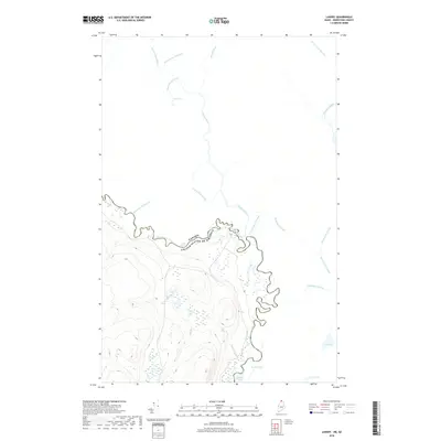
2018 Map of Landry
USGS Topo · Published 2018About this map
The Saint Francis River forms a complex international boundary between Maine and Quebec in this remote northern reach of Aroostook County. This 2018 survey detail shows a landscape dominated by timberland and hydraulic networks, where the river's path is marked by the Kelly Rapids. The terrain transitions into Canadian territory through a series of francophone-named waterways, including Rivière Bleue and its many tributaries such as Cours d'eau Bérubé and Cours d'eau du Village. On the American side, the topography is defined by significant elevations overlooking Beau Lake and Le Petit Lac. This map is particularly useful for those tracing the specific geographic markers of the borderlands, from the confluence of Jones Brook to the various lacustrine features like Lac Brisson and Lac Bossé that dot the wooded interior.
Find a feature on this map
22 named features on this map. Tap any name to fly to it.
Don’t see what you’re looking for? This feature index may not catch every label — zoom into the map to look around manually.
Map Details
Editions of this 2018 Landry Map
This is the sole edition of this map. No revisions or reprints were ever made.
Other maps of this area

1955 · Beau Lake
USGS Topo · 1:62,500

1962 · Edmundston
USGS Topo · 1:250,000
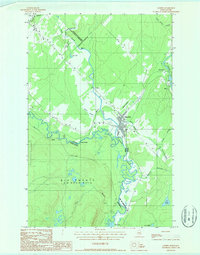
1986 · Landry
USGS Topo · 1:24,000

1987 · Beau Lake
USGS Topo · 1:24,000

1987 · Hafey Pond
USGS Topo · 1:24,000
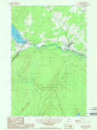
1987 · Estcourt
USGS Topo · 1:24,000
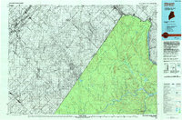
1993 · Allagash
USGS Topo · 1:100,000
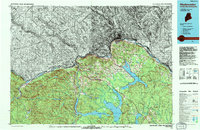
1994 · Madawaska
USGS Topo · 1:100,000
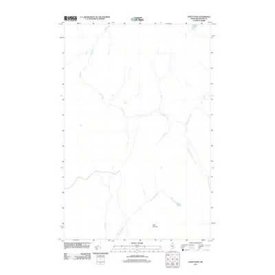
2011 · Hafey Pond
USGS Topo · 1:24,000
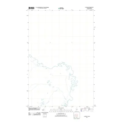
2011 · Landry
USGS Topo · 1:24,000