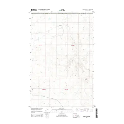
2014 Map of Landslide Butte
USGS Topo · Published 2014About this map
Landslide Butte rises above the high plains of Glacier County in this northern Montana landscape near the international border. The serpentine path of the Milk River carves through the northern half of the quadrangle, creating a complex of riparian draws and breaks against the higher plateaus. This area is characterized by vast open ranges and minimal human infrastructure, defined primarily by a grid of section lines and isolated landmarks like Eagle Point. Grounded in the early twenty-first century, the map shows a sparse transportation network consisting of secondary routes like Chalk Butte Rd and William Johnson Rd, which provide the only access through these remote grazing lands. The topography reflects a classic Big Sky country drainage pattern where seasonal coulees feed into the larger river basin.
Find a feature on this map
13 named features on this map. Tap any name to fly to it.
Don’t see what you’re looking for? This feature index may not catch every label — zoom into the map to look around manually.
Map Details
Editions of this 2014 Landslide Butte Map
This is the sole edition of this map. No revisions or reprints were ever made.
Other maps of this area

1911 · Blackfoot
USGS Topo · 1:125,000

1960 · Cut Bank
USGS Topo · 1:250,000

1963 · Cut Bank
USGS Topo · 1:250,000

1964 · Cut Bank
USGS Topo · 1:250,000

1968 · Buffalo Lake
USGS Topo · 1:24,000
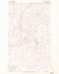
1968 · Love Rock
USGS Topo · 1:24,000

1968 · Rocky Buttes
USGS Topo · 1:24,000
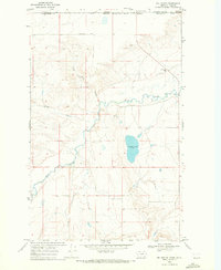
1968 · Del Bonita
USGS Topo · 1:24,000

1968 · Landslide Butte
USGS Topo · 1:24,000
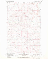
1968 · Rimrock Ranch
USGS Topo · 1:24,000