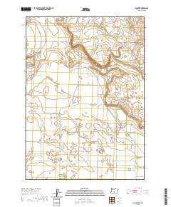
2020 Map of Lane Lake
USGS Topo · Published 2020About this map
Fort Rock Valley defines this portion of the Oregon high desert, where a vast, open landscape is marked by the subtle depression of Lane Lake and the containment of Stingley Reservoir. The terrain is characterized by broad basins and the distinct rising feature of Flatiron, reflecting the volcanic and lacustrine history of the Great Basin. This 2020 survey reveals a sparse network of county roads and lanes that follow the Public Land Survey System grid, suggesting a region dominated by ranching and open range rather than concentrated settlement.
Find a feature on this map
28 named features on this map. Tap any name to fly to it.
Don’t see what you’re looking for? This feature index may not catch every label — zoom into the map to look around manually.
Map Details
Editions of this 2020 Lane Lake Map
This is the sole edition of this map. No revisions or reprints were ever made.
Other maps of this area

1955 · Crescent
USGS Topo · 1:250,000

1957 · Crescent
USGS Topo · 1:250,000

1958 · Crescent
USGS Topo · 1:250,000

1970 · Crescent
USGS Topo · 1:250,000

1981 · Hogback Butte
USGS Topo · 1:24,000

1981 · Cougar Mtn
USGS Topo · 1:24,000

1981 · Thorn Lake
USGS Topo · 1:24,000

1981 · Lane Lake
USGS Topo · 1:24,000
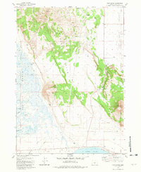
1981 · Tuff Butte
USGS Topo · 1:24,000
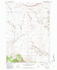
1982 · Schaub Lake
USGS Topo · 1:24,000