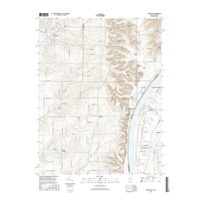
2016 Map of Lanesville
USGS Topo · Published 2016About this map
The Ohio River serves as the dividing line between Harrison and Floyd Counties in Indiana and Jefferson County, Kentucky, in this 2016 survey. On the Indiana side, the landscape is defined by a dense network of ridges and hollows, including Riley Ridge, Schoolhouse Ridge, and the prominent Backbone Ridge. Traditional small-town centers like Lanesville and Bridgeport contrast with the more suburbanized development of Greenwood and Riverside Gardens across the water.
Find a feature on this map
142 named features on this map. Tap any name to fly to it.
Don’t see what you’re looking for? This feature index may not catch every label — zoom into the map to look around manually.
Map Details
Editions of this 2016 Lanesville Map
This is the sole edition of this map. No revisions or reprints were ever made.
Other maps of this area

1909 · Kosmosdale
USGS Topo · 1:48,000

1912 · Kosmosdale
USGS Topo · 1:62,500

1931 · Corydon
USGS Topo · 1:62,500

1939 · New Albany
USGS Topo · 1:24,000

1939 · Georgetown
USGS Topo · 1:24,000

1946 · New Albany
USGS Topo · 1:24,000

1947 · Georgetown
USGS Topo · 1:24,000

1948 · Corydon East
USGS Topo · 1:24,000

1948 · Laconia
USGS Topo · 1:24,000

1949 · Georgetown
USGS Topo · 1:24,000