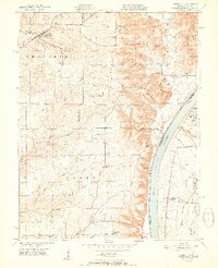
1951 Map of Lanesville
USGS Topo · Published 1951About this map
Lanesville and the surrounding rural uplands of Harrison County are defined by a complex network of ridges and creek valleys just west of the Ohio River in the early 1950s. The settlement pattern is deeply connected to the terrain, with family-named landmarks like Riley Ridge and Brock Ridge separating the drainages of Indian Creek and Buck Creek. Local education and faith are centered at sites such as St Marys Sch and Antioch Ch, while numerous small burial grounds like Tabler Cem and Heistand Cem point to the area’s genealogical depth. Along the river, the transition from high bluffs to the water is marked by navigation aids like Beelers Lt and Hughes Bar Light, as well as the small riverside community of Bridgeport. The map reveals a pre-suburban landscape of dispersed farmsteads and rural crossroads including Lottick Corner and Sand Bank Corner.
Find a feature on this map
72 named features on this map. Tap any name to fly to it.
Don’t see what you’re looking for? This feature index may not catch every label — zoom into the map to look around manually.
Map Details
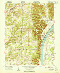
Editions of this 1951 Lanesville Map
2 editions found
Other maps of this area

1909 · Kosmosdale
USGS Topo · 1:48,000

1912 · Kosmosdale
USGS Topo · 1:62,500

1931 · Corydon
USGS Topo · 1:62,500

1939 · New Albany
USGS Topo · 1:24,000

1939 · Georgetown
USGS Topo · 1:24,000

1946 · New Albany
USGS Topo · 1:24,000

1947 · Georgetown
USGS Topo · 1:24,000

1948 · Corydon East
USGS Topo · 1:24,000

1948 · Laconia
USGS Topo · 1:24,000

1949 · Georgetown
USGS Topo · 1:24,000