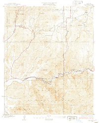
1933 Map of Lang
USGS Topo · Published 1933About this map
Santa Clara River flows through the southern portion of this region, providing a lifeline for the small rail settlements and ranches that dot the landscape in the early 1930s. The Southern Pacific line follows the Soledad Canyon floor, connecting the stops at Lang and Russ. This corridor was critical for the local mineral economy, which is evidenced by the presence of the Champion Mine, Borax Mine, and the nearby Sulphur Springs. Away from the tracks, the terrain is dominated by various canyons, including Mint Canyon and Tick Canyon, where isolated outposts like Skyline Ranch and Sunny Slope Ranch established a presence in the high country. Notable landmarks such as Vasquez Rock stand out against the topography, while the Angeles National Forest boundary defines the southern and western reaches of the surveyed area.
Find a feature on this map
31 named features on this map. Tap any name to fly to it.
Don’t see what you’re looking for? This feature index may not catch every label — zoom into the map to look around manually.
Map Details
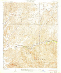
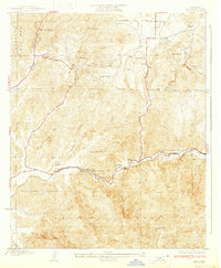
Editions of this 1933 Lang Map
3 editions found
Other maps of this area

1900 · Fernando
USGS Topo · 1:62,500

1901 · Southern California Sheet No. 1
USGS Topo · 1:250,000

1904 · Southern California Sheet No. 1
USGS Topo · 1:250,000

1915 · Elizabeth Lake
USGS Topo · 1:125,000

1917 · Elizabeth Lake
USGS Topo · 1:125,000

1925 · Sylmar
USGS Topo · 1:24,000

1928 · Sylmar
USGS Topo · 1:24,000
1929 · Sylmar
USGS Topo · 1:24,000

1929 · Lang
USGS Topo · 1:24,000

1930 · Ravenna
USGS Topo · 1:24,000