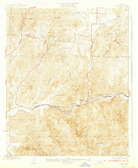
1933 Map of Lang
USGS Topo · Published 1933About this map
Santa Clara River canyons define this 1933 survey of the northern Los Angeles County landscape. The Southern Pacific railroad corridor follows the riverbed, anchoring a string of small settlements and sidings including Lang, Russ, and Soledad. This transport artery supported a remote ranching and mining economy, as evidenced by Green Ranch, Skyline Ranch, and the Sunny Slope Ranch tucked into the surrounding foothills. Resource extraction is visible at the Champion Mine and Borax Mine, while the distinctive geological formations of Vasquez Rock stand out near Escondido Canyon. Much of the southern and western territory falls within the Angeles National Forest, where steep drainage systems like Tick Canyon and Agua Dulce Canyon cut through the terrain toward the valley floor. The presence of Elkhorn Lodge and various springs indicates a reliance on the area's natural features for both early tourism and essential water supplies in the arid Santa Clarita region.
Find a feature on this map
33 named features on this map. Tap any name to fly to it.
Don’t see what you’re looking for? This feature index may not catch every label — zoom into the map to look around manually.
Map Details
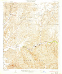
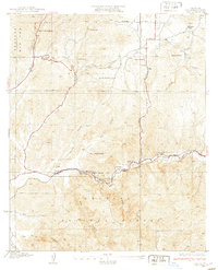
Editions of this 1933 Lang Map
3 editions found
Other maps of this area

1900 · Fernando
USGS Topo · 1:62,500

1901 · Southern California Sheet No. 1
USGS Topo · 1:250,000

1904 · Southern California Sheet No. 1
USGS Topo · 1:250,000

1915 · Elizabeth Lake
USGS Topo · 1:125,000

1917 · Elizabeth Lake
USGS Topo · 1:125,000

1925 · Sylmar
USGS Topo · 1:24,000

1928 · Sylmar
USGS Topo · 1:24,000
1929 · Sylmar
USGS Topo · 1:24,000

1929 · Lang
USGS Topo · 1:24,000

1930 · Ravenna
USGS Topo · 1:24,000