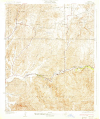
1933 Map of Lang
USGS Topo · Published 1933About this map
Southern Pacific rail tracks follow the winding course of Soledad Canyon on this survey, providing the primary industrial artery through the northern Los Angeles County mountains. This corridor connects small trackside settlements like Lang, Alpine, and Russ, which served as vital stops for water and transport in the early twentieth century. The surrounding landscape within the Angeles National Forest is defined by steep drainage systems such as Agua Dulce Canyon and Escondido Canyon.
Find a feature on this map
28 named features on this map. Tap any name to fly to it.
Don’t see what you’re looking for? This feature index may not catch every label — zoom into the map to look around manually.
Map Details
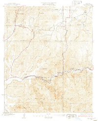
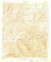
Editions of this 1933 Lang Map
3 editions found
Other maps of this area

1900 · Fernando
USGS Topo · 1:62,500

1901 · Southern California Sheet No. 1
USGS Topo · 1:250,000

1904 · Southern California Sheet No. 1
USGS Topo · 1:250,000

1915 · Elizabeth Lake
USGS Topo · 1:125,000

1917 · Elizabeth Lake
USGS Topo · 1:125,000

1925 · Sylmar
USGS Topo · 1:24,000

1928 · Sylmar
USGS Topo · 1:24,000
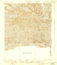
1929 · Sylmar
USGS Topo · 1:24,000

1929 · Lang
USGS Topo · 1:24,000

1930 · Ravenna
USGS Topo · 1:24,000