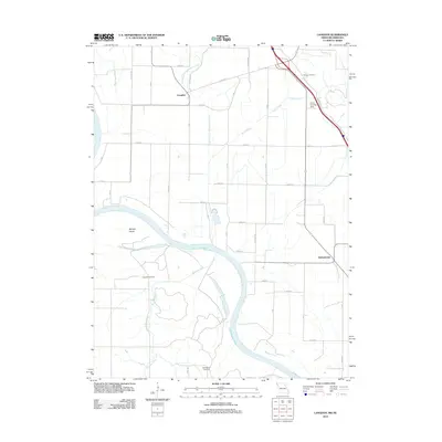
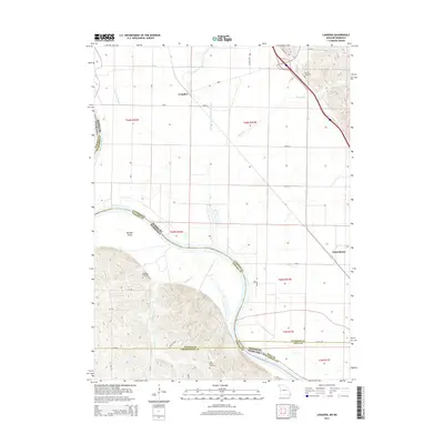
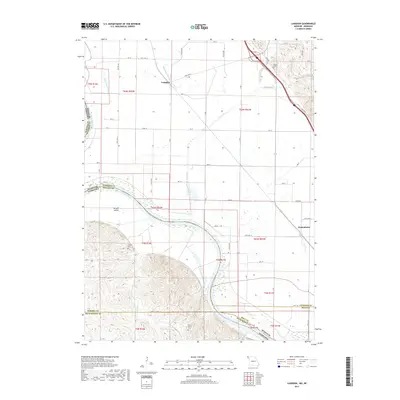
1966 Map of Langdon
USGS Topo · Published 1981About this map
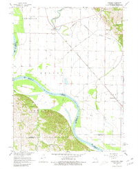
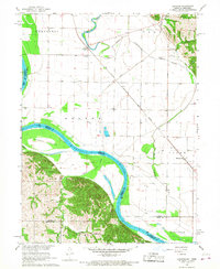
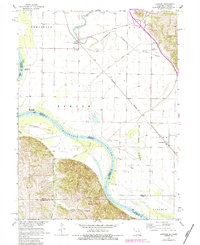
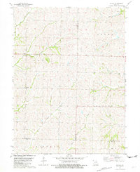
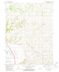
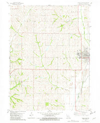
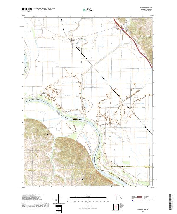
Langdon sits at the nexus of the mid-1960s river-and-rail economy in Atchison County, positioned where the Burlington and Quincy railroad intersects the fertile bottoms of the Missouri River. The landscape reveals a complex hydrology, dominated by the winding path of the Nishnabotna River and the legacy of its shifting course seen in the Old Channel Nishnabotna River. Large alluvial landforms like Morgan Island are bounded by state lines, while the high ground to the northeast in Clark township provides a stark contrast to the flat river plains. Local heritage is grounded in landmarks like St Peters Ch and the Hunter Cem, alongside industrial and transportation features such as the Quarry and the Luhrs Landing Strip. The presence of the Chicago Rock Island and Pacific railroad further highlights the area's importance as a regional transit corridor during this era.
Find a feature on this map
29 named features on this map. Tap any name to fly to it.
Don’t see what you’re looking for? This feature index may not catch every label — zoom into the map to look around manually.
Map Details
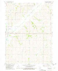
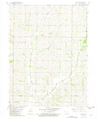
Editions of this 1966 Langdon Map
3 editions found
Historical Maps of Langdon Through Time
39 maps found
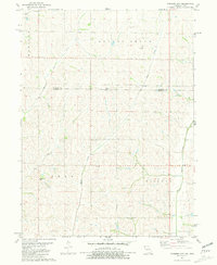
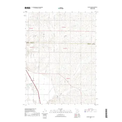
1966 Langdon
Atchison County, MO
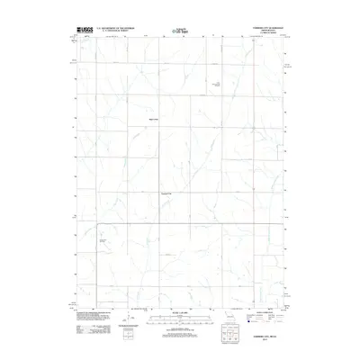
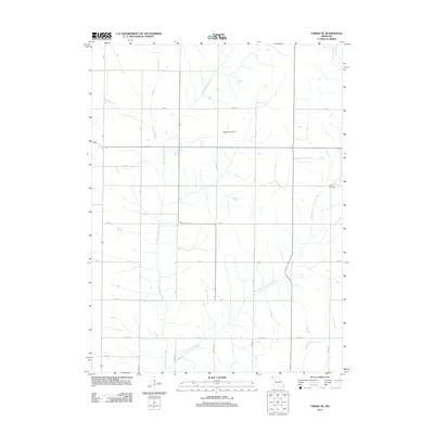
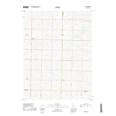
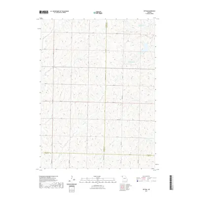
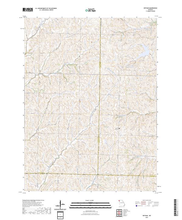
1981 Dotham
Atchison County, MO
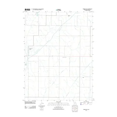
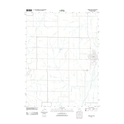
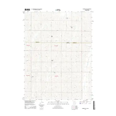
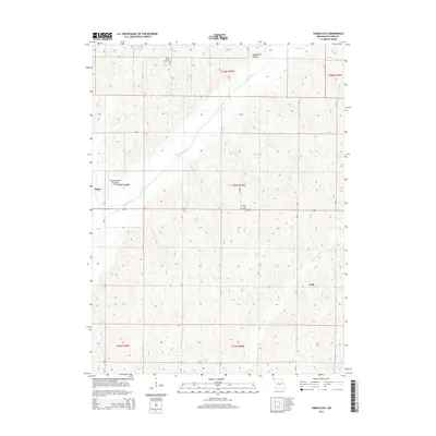
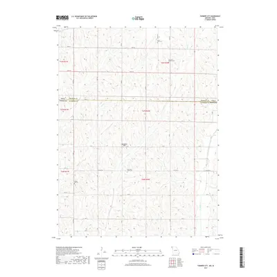
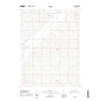
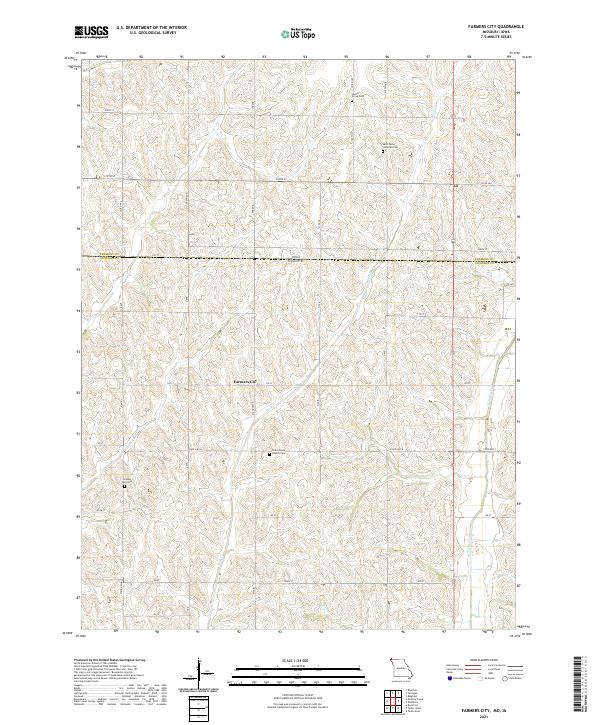
1981 Farmers City
Atchison County, MO
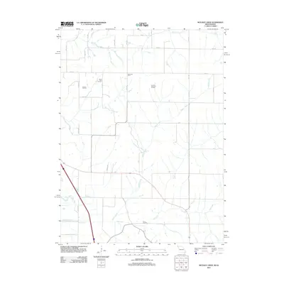
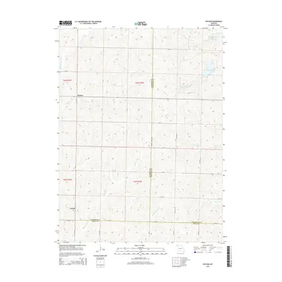
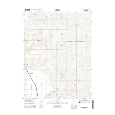
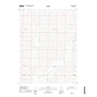
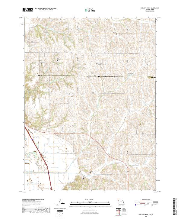
1981 McElroy Creek
Atchison County, MO
1981 Tarkio East
Atchison County, MO
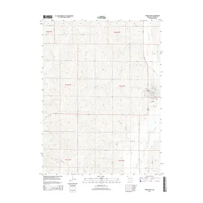
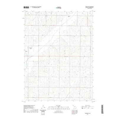
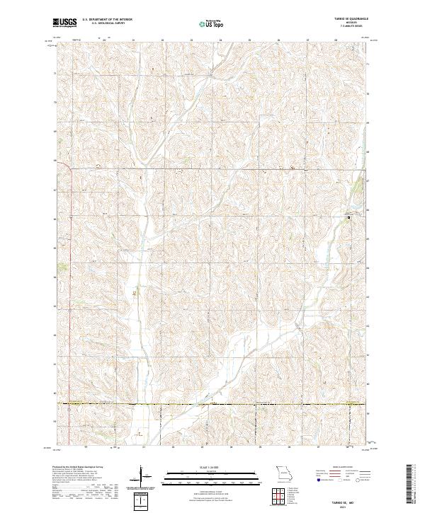
1981 Tarkio SE
Atchison County, MO
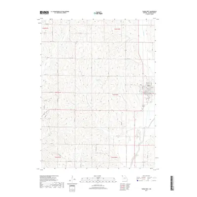
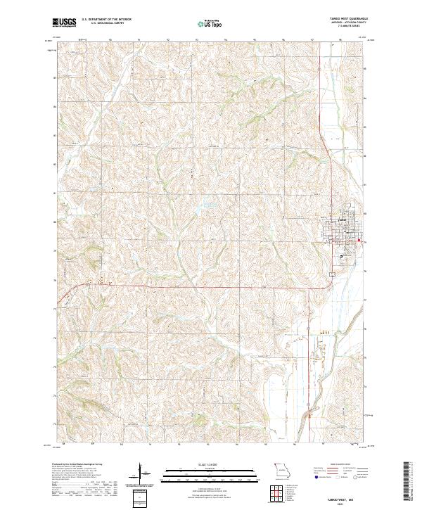
1981 Tarkio West
Atchison County, MO
2010 Farmers City
Atchison County, MO
2010 McElroy Creek
Atchison County, MO
2012 Dotham
Atchison County, MO
2012 Farmers City
Atchison County, MO
2012 Langdon
Atchison County, MO
2012 McElroy Creek
Atchison County, MO
2012 Tarkio East
Atchison County, MO
2012 Tarkio SE
Atchison County, MO
2012 Tarkio West
Atchison County, MO
2014 Dotham
Atchison County, MO
2014 Farmers City
Atchison County, MO
2014 Langdon
Atchison County, MO
2014 McElroy Creek
Atchison County, MO
2014 Tarkio East
Atchison County, MO
2014 Tarkio SE
Atchison County, MO
2014 Tarkio West
Atchison County, MO
2017 Dotham
Atchison County, MO
2017 Farmers City
Atchison County, MO
2017 Langdon
Atchison County, MO
2017 McElroy Creek
Atchison County, MO
2017 Tarkio East
Atchison County, MO
2017 Tarkio SE
Atchison County, MO
2017 Tarkio West
Atchison County, MO
2021 Dotham
Atchison County, MO
2021 Farmers City
Atchison County, MO
2021 Langdon
Atchison County, MO
2021 McElroy Creek
Atchison County, MO
2021 Tarkio East
Atchison County, MO
2021 Tarkio SE
Atchison County, MO
2021 Tarkio West
Atchison County, MO
2023 Dotham
Atchison County, MO
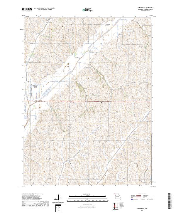
2023 Tarkio East
Atchison County, MO