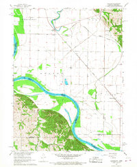
1966 Map of Langdon
USGS Topo · Published 1968About this map
The Missouri River and its intricate drainage system dominate this mid-1960s survey, illustrating the complex hydrology of the borderlands between Missouri and Nebraska. The landscape is defined by the wandering path of the Nishnabotna River, including the Old Nishnabotna River Channel, which reveals how the waterway has shifted over time. In the settlement of Langdon, the Chicago Burlington and Quincy railroad intersects with local life, while St Peters Ch serves as a local landmark. To the south, the Barada Hills rise sharply from the river plain, providing a stark contrast to the flat, farmed bottoms of Morgan Island. For those researching family history, the map identifies several rural burial grounds, including Hunter Cem and Hillsdale Cem, often situated near the creeks and ridges that shaped early township boundaries.
Find a feature on this map
32 named features on this map. Tap any name to fly to it.
Don’t see what you’re looking for? This feature index may not catch every label — zoom into the map to look around manually.
Map Details
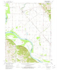
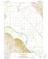
Editions of this 1966 Langdon Map
3 editions found
Other maps of this area

1915 · Falls City
USGS Topo · 1:62,500

1915 · Nemaha
USGS Topo · 1:62,500

1920 · Craig
USGS Topo · 1:62,500

1936 · Fairfax
USGS Topo · 1:24,000

1939 · Tarkio
USGS Topo · 1:62,500

1939 · Nemaha
USGS Topo · 1:62,500

1940 · Tarkio
USGS Topo · 1:62,500

1941 · Tarkio
USGS Topo · 1:62,500

1949 · Nemaha
USGS Topo · 1:62,500

1955 · Nebraska City
USGS Topo · 1:250,000