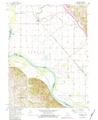
1966 Map of Langdon
USGS Topo · Published 1984About this map
The Missouri River defines the sweeping western border of this quadrangle, where the shifting riverbed has historically dictated county and state lines between Missouri and Nebraska. The small settlement of Langdon sits inland, anchored by the St Peters Ch and the tracks of the Burlington Northern railroad. The landscape is heavily influenced by fluvial history, visible in the winding path of the Nishnabotna River and its abandoned predecessor, the Old Channel Nishnabotna River.
Find a feature on this map
32 named features on this map. Tap any name to fly to it.
Don’t see what you’re looking for? This feature index may not catch every label — zoom into the map to look around manually.
Map Details
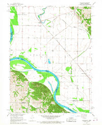
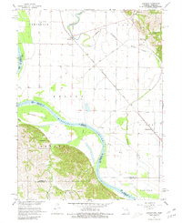
Editions of this 1966 Langdon Map
3 editions found
Other maps of this area

1915 · Falls City
USGS Topo · 1:62,500

1915 · Nemaha
USGS Topo · 1:62,500

1920 · Craig
USGS Topo · 1:62,500

1936 · Fairfax
USGS Topo · 1:24,000

1939 · Tarkio
USGS Topo · 1:62,500

1939 · Nemaha
USGS Topo · 1:62,500

1940 · Tarkio
USGS Topo · 1:62,500

1941 · Tarkio
USGS Topo · 1:62,500

1949 · Nemaha
USGS Topo · 1:62,500

1955 · Nebraska City
USGS Topo · 1:250,000