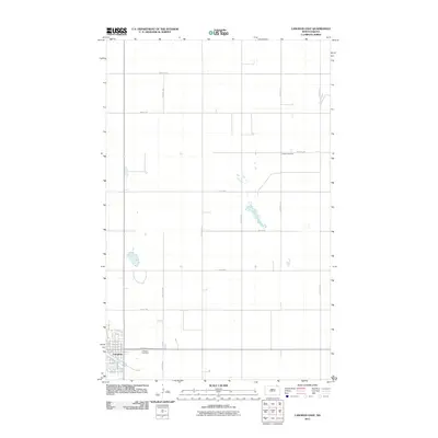
2011 Map of Langdon East
USGS Topo · Published 2011About this map
Langdon serves as the primary urban center for this corner of Cavalier County, situated at the intersection of a rigid grid of rural section roads and residential streets. The eastern edge of the community is anchored by Lebanon Cemetery, while the surrounding landscape is defined by the agricultural geometry typical of the Red River Valley hinterlands. Beyond the town limits, the terrain is sparsely populated, with a network of corridors like 107th Ave NE and 100th St NE providing access to scattered farmsteads and isolated landmarks. The presence of the Harvey Cemetery several miles to the northeast suggests an earlier era of rural settlement patterns and local family legacies within the prairie. Small pockets of seasonal water dot the landscape, interrupting the otherwise uniform fields that stretch toward the horizon.
Find a feature on this map
30 named features on this map. Tap any name to fly to it.
Don’t see what you’re looking for? This feature index may not catch every label — zoom into the map to look around manually.
Map Details
Editions of this 2011 Langdon East Map
This is the sole edition of this map. No revisions or reprints were ever made.
Other maps of this area

1953 · Devils Lake
USGS Topo · 1:250,000

1956 · Devils Lake
USGS Topo · 1:250,000

1967 · Langdon East
USGS Topo · 1:24,000

1967 · Maida
USGS Topo · 1:24,000

1969 · Olga SW
USGS Topo · 1:24,000

1969 · Olga NW
USGS Topo · 1:24,000

1970 · Mount Carmel
USGS Topo · 1:24,000

1970 · Langdon West
USGS Topo · 1:24,000

1972 · Osnabrock
USGS Topo · 1:24,000

1972 · Easby
USGS Topo · 1:24,000