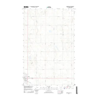
2014 Map of Langdon East
USGS Topo · Published 2014About this map
Langdon anchors the southwestern corner of this survey, serving as the primary hub for this stretch of the North Dakota plains. The grid of the town is clearly defined by numbered streets and avenues, including 9th Ave E and 2nd St, which transition into a sprawling agricultural landscape. Beyond the town limits, the terrain is characterized by a high-density network of section-line roads such as 108th Ave NE and 95th St NE, illustrating the systematic land division of the region. Local history is marked by the presence of Lebanon Cem near the town center and the more isolated Harvey Cem further north. The primary north-south artery ND-1 provides the essential connection for this farming community, while the Country Club Rd indicates localized recreational development just outside the main residential blocks.
Find a feature on this map
36 named features on this map. Tap any name to fly to it.
Don’t see what you’re looking for? This feature index may not catch every label — zoom into the map to look around manually.
Map Details
Editions of this 2014 Langdon East Map
This is the sole edition of this map. No revisions or reprints were ever made.
Other maps of this area

1953 · Devils Lake
USGS Topo · 1:250,000

1956 · Devils Lake
USGS Topo · 1:250,000

1967 · Langdon East
USGS Topo · 1:24,000

1967 · Maida
USGS Topo · 1:24,000

1969 · Olga SW
USGS Topo · 1:24,000

1969 · Olga NW
USGS Topo · 1:24,000

1970 · Mount Carmel
USGS Topo · 1:24,000

1970 · Langdon West
USGS Topo · 1:24,000

1972 · Osnabrock
USGS Topo · 1:24,000

1972 · Easby
USGS Topo · 1:24,000