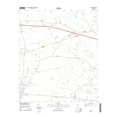
2014 Map of Lanier
USGS Topo · Published 2014About this map
Pembroke serves as a primary hub in this corner of Bryan County, situated at the junction of Ga-119 and Us-280. The landscape is defined by the winding paths of Lower Black Creek and Mill Creek, which create a network of wetlands and islands including Cooks Island, Jennett Island, and the evocatively named Moonshine Island. The map records several historic crossing points along these waterways, such as Groover Ford, Scott Ford, and Burnsed Bridge, which highlight the traditional transit routes through the low-lying terrain.
Find a feature on this map
122 named features on this map. Tap any name to fly to it.
Don’t see what you’re looking for? This feature index may not catch every label — zoom into the map to look around manually.
Map Details
Editions of this 2014 Lanier Map
This is the sole edition of this map. No revisions or reprints were ever made.
Other maps of this area

1919 · Egypt
USGS Topo · 1:62,500

1920 · Pembroke
USGS Topo · 1:62,500

1920 · Meldrim
USGS Topo · 1:62,500

1921 · Brooklet
USGS Topo · 1:62,500

1939 · Egypt
USGS Topo · 1:62,500

1942 · Meldrim
USGS Topo · 1:62,500

1943 · Brooklet
USGS Topo · 1:62,500

1943 · Egypt
USGS Topo · 1:62,500

1947 · Savannah
USGS Topo · 1:250,000

1948 · Savannah
USGS Topo · 1:250,000