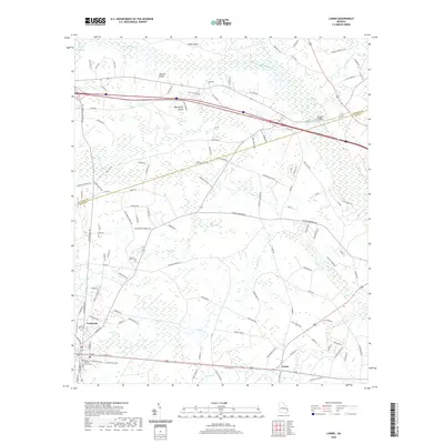
2020 Map of Lanier
USGS Topo · Published 2020About this map
Pembroke and the historic Bryan County Courthouse anchor the southwestern corner of this coastal plain landscape. The terrain is defined by complex wetland systems and baygalls, including the expansive Patrick Bay, Boggy Bay, and Mill Creek Bay. These water features surround slightly elevated land masses uniquely identified as islands despite being far inland, such as Jennett Island, Moonshine Island, and Cooks Island. The road network connects small rural communities like Lanier to the county seat, while local history is preserved at Stevens Grove Cem and North Side Cem. To the northeast, the Ivanhoe Hunting Club sits near the winding course of Upper Black Cr, illustrating the traditional land use patterns of the Georgia pine woods and river bottomlands. The map reveals the intricate drainage patterns of Lower Black Cr and Mill Cr as they move through the varied elevations of Bulloch and Bryan counties.
Find a feature on this map
122 named features on this map. Tap any name to fly to it.
Don’t see what you’re looking for? This feature index may not catch every label — zoom into the map to look around manually.
Map Details
Editions of this 2020 Lanier Map
This is the sole edition of this map. No revisions or reprints were ever made.
Other maps of this area

1919 · Egypt
USGS Topo · 1:62,500

1920 · Pembroke
USGS Topo · 1:62,500

1920 · Meldrim
USGS Topo · 1:62,500

1921 · Brooklet
USGS Topo · 1:62,500

1939 · Egypt
USGS Topo · 1:62,500

1942 · Meldrim
USGS Topo · 1:62,500

1943 · Brooklet
USGS Topo · 1:62,500

1943 · Egypt
USGS Topo · 1:62,500

1947 · Savannah
USGS Topo · 1:250,000

1948 · Savannah
USGS Topo · 1:250,000