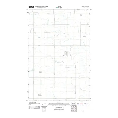
2011 Map of Lankin
USGS Topo · Published 2011About this map
Lankin serves as the primary hub of this agricultural landscape in Walsh County, where the town's grid is defined by streets like Norton St and Division St. The surrounding countryside is marked by a deep-rooted history of settlement, evidenced by a high density of rural burial grounds including Pleasant Valley Cemetery, Christianson Cemetery, Machart Cemetery, and Saint Josephs Cemetery. These sites are often the last standing markers of the early immigrant communities that established farms across this territory.
Find a feature on this map
28 named features on this map. Tap any name to fly to it.
Don’t see what you’re looking for? This feature index may not catch every label — zoom into the map to look around manually.
Map Details
Editions of this 2011 Lankin Map
This is the sole edition of this map. No revisions or reprints were ever made.
Other maps of this area

1952 · Thief River Falls
USGS Topo · 1:250,000

1953 · Devils Lake
USGS Topo · 1:250,000

1956 · Thief River Falls
USGS Topo · 1:250,000

1956 · Devils Lake
USGS Topo · 1:250,000

1957 · Thief River Falls
USGS Topo · 1:250,000

1963 · Edinburg
USGS Topo · 1:24,000

1963 · Pleasant Valley
USGS Topo · 1:24,000

1963 · Fordville
USGS Topo · 1:24,000

1967 · Thief River Falls
USGS Topo · 1:250,000

1971 · Whitman
USGS Topo · 1:24,000