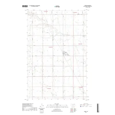
2017 Map of Lankin
USGS Topo · Published 2017About this map
Lankin serves as the primary hub of this agricultural landscape in Walsh County, situated among the sections of the Red River Valley. The town’s layout is clearly defined by a network of local streets including Main St, Norton St, and Prospect St. The surrounding countryside is marked by several small, family and community burial sites such as Saint Josephs Cem, Machart Cem, and Christianson Cem, which provide significant touchpoints for genealogical research in this part of North Dakota. The drainage of the area is dominated by the winding path of the N Br Forest River, which cuts across the grid-patterned sections. This 2017 survey reflects the persistent rural character of the region, where a system of section-line roads like 66th St NE and Prairie Trl facilitates the movement of local transit and trade.
Find a feature on this map
29 named features on this map. Tap any name to fly to it.
Don’t see what you’re looking for? This feature index may not catch every label — zoom into the map to look around manually.
Map Details
Editions of this 2017 Lankin Map
This is the sole edition of this map. No revisions or reprints were ever made.
Other maps of this area

1952 · Thief River Falls
USGS Topo · 1:250,000

1953 · Devils Lake
USGS Topo · 1:250,000

1956 · Thief River Falls
USGS Topo · 1:250,000

1956 · Devils Lake
USGS Topo · 1:250,000

1957 · Thief River Falls
USGS Topo · 1:250,000

1963 · Edinburg
USGS Topo · 1:24,000

1963 · Pleasant Valley
USGS Topo · 1:24,000

1963 · Fordville
USGS Topo · 1:24,000

1967 · Thief River Falls
USGS Topo · 1:250,000

1971 · Whitman
USGS Topo · 1:24,000