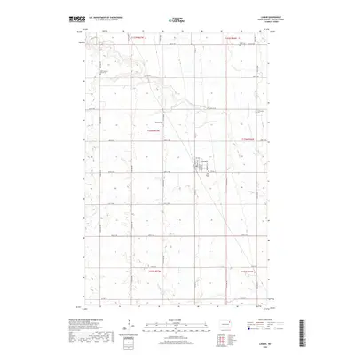
2024 Map of Lankin
USGS Topo · Published 2024About this map
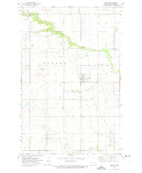
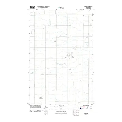
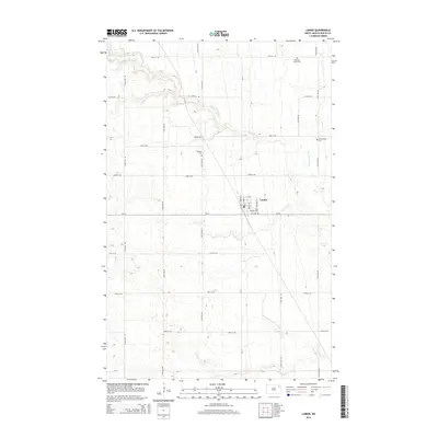
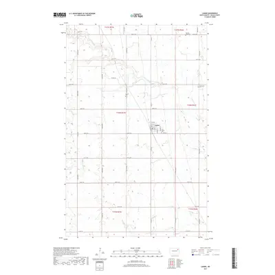
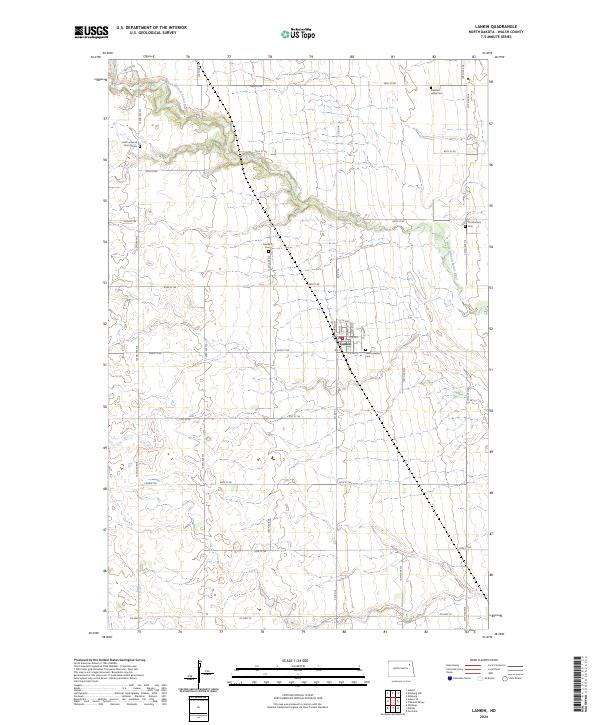
Lankin serves as the central hub of this agricultural landscape in Walsh County, where the town grid is defined by streets like Main St and Norton St. The surrounding terrain is shaped by the winding course of the North Branch Forest River, which cuts a distinctive valley through the prairie. For those researching local history or genealogy, the map identifies several rural burying grounds scattered across the townships, including Hoff Lutheran Church Cem, Machart Cem, and Christianson Cem. The infrastructure follows a rigid section-line grid, though older paths like Prairie Trl suggest the area's earlier transit patterns. This survey provides a clear view of the homestead-era land divisions and the placement of community institutions like Saint Josephs Cem relative to the village center.
Find a feature on this map
32 named features on this map. Tap any name to fly to it.
Don’t see what you’re looking for? This feature index may not catch every label — zoom into the map to look around manually.
Map Details
Editions of this 2024 Lankin Map
This is the sole edition of this map. No revisions or reprints were ever made.
Historical Maps of Lankin Through Time
6 maps found