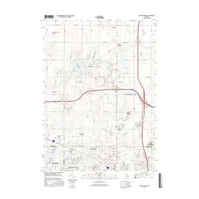
2017 Map of Lansing North
USGS Topo · Published 2017About this map
Lansing and its northern suburbs are captured during a period of modern expansion at the junction of Clinton, Ingham, and Eaton counties. The Looking Glass River meanders across the upper half of the map, passing through the community of DeWitt and near Lake Geneva. This drainage system is bolstered by numerous local waterways, including Blizzard Drain, Turkey Cr Drain, and Remey Chandler Drain, reflecting the complex hydrology of this central Michigan landscape.
Find a feature on this map
84 named features on this map. Tap any name to fly to it.
Don’t see what you’re looking for? This feature index may not catch every label — zoom into the map to look around manually.
Map Details
Editions of this 2017 Lansing North Map
This is the sole edition of this map. No revisions or reprints were ever made.
Other maps of this area

1909 · Mason
USGS Topo · 1:62,500

1910 · Lansing
USGS Topo · 1:62,500

1911 · Mason
USGS Topo · 1:62,500

1912 · Lansing
USGS Topo · 1:62,500

1927 · De Witt
USGS Topo · 1:62,500

1928 · Laingsburg
USGS Topo · 1:62,500

1944 · Laingsburg
USGS Topo · 1:62,500

1958 · Grand Rapids
USGS Topo · 1:250,000

1961 · Grand Rapids
USGS Topo · 1:250,000

1962 · Grand Rapids
USGS Topo · 1:250,000