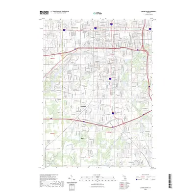
2023 Map of Lansing South
USGS Topo · Published 2023About this map
Lansing's southern cityscape and the neighboring community of Holt anchor this modern survey of central Michigan. The geography is defined by the convergence of the Grand River and Red Cedar River, with the Sycamore Creek corridor winding through the eastern portion of the quadrangle. As the state's center of governance and education, the map highlights key institutions such as the Michigan Hall of Justice - Supreme Court and the Lansing Community College Downtown Campus. Suburban and industrial developments spread across the Eaton and Ingham County line, including the rail-linked settlement of Millett. Extensive drainage networks, including the Alton Drain and Banta Drain, reflect the managed hydrology of this populated river basin. Significant local landmarks like Deepdale Memorial Park and several regional cemeteries offer critical touchpoints for genealogists and local historians studying the capital area's evolution.
Find a feature on this map
46 named features on this map. Tap any name to fly to it.
Don’t see what you’re looking for? This feature index may not catch every label — zoom into the map to look around manually.
Map Details
Editions of this 2023 Lansing South Map
This is the sole edition of this map. No revisions or reprints were ever made.
Other maps of this area

1909 · Mason
USGS Topo · 1:62,500

1910 · Lansing
USGS Topo · 1:62,500

1911 · Mason
USGS Topo · 1:62,500

1912 · Lansing
USGS Topo · 1:62,500

1927 · De Witt
USGS Topo · 1:62,500

1928 · Laingsburg
USGS Topo · 1:62,500

1944 · Laingsburg
USGS Topo · 1:62,500

1958 · Grand Rapids
USGS Topo · 1:250,000

1961 · Grand Rapids
USGS Topo · 1:250,000

1962 · Grand Rapids
USGS Topo · 1:250,000