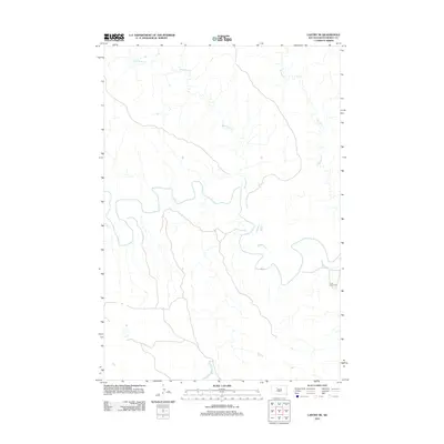
2012 Map of Lantry NE
USGS Topo · Published 2012About this map
The Moreau River meanders through the heart of the Dewey County landscape, carving a wide basin across this northern South Dakota plain. This 2012 survey illustrates a sparse prairie environment defined by its watercourses, where the river is joined by Red Earth Cr and Meadow Cr. The most significant cultural landmark is the Green Grass Cem, located on the eastern side of the quadrangle near the riverbanks. The settlement pattern here is dictated by the river valley, with most roads and tracks following the natural contours of the drainage system rather than a strict grid, reflecting the adaptations required for life in the western Dakota grasslands.
Find a feature on this map
4 named features on this map. Tap any name to fly to it.
Don’t see what you’re looking for? This feature index may not catch every label — zoom into the map to look around manually.
Map Details
Editions of this 2012 Lantry NE Map
This is the sole edition of this map. No revisions or reprints were ever made.
Other maps of this area

1952 · Lantry NW
USGS Topo · 1:24,000

1952 · Lantry NE
USGS Topo · 1:24,000

1952 · Parade NW
USGS Topo · 1:24,000

1953 · McIntosh
USGS Topo · 1:250,000

1958 · McIntosh
USGS Topo · 1:250,000

1978 · Isabel SW
USGS Topo · 1:24,000

1978 · Peach Lake
USGS Topo · 1:24,000

1978 · Livermant Lake
USGS Topo · 1:24,000

1981 · Parade SW
USGS Topo · 1:24,000

1981 · Lantry
USGS Topo · 1:24,000