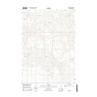
2015 Map of Lantry NE
USGS Topo · Published 2015About this map
The Moreau River meanders across this Ziebach County landscape, carving a wide valley through the rolling plains. The settlement of Green Grass serves as a focal point in the southeast, situated near the intersection of the primary local thoroughfare, Green Grass Rd. This area is characterized by a network of drainage systems, including Red Earth Cr and Meadow Cr, which define the topography and historical movement through the region.
Find a feature on this map
10 named features on this map. Tap any name to fly to it.
Don’t see what you’re looking for? This feature index may not catch every label — zoom into the map to look around manually.
Map Details
Editions of this 2015 Lantry NE Map
This is the sole edition of this map. No revisions or reprints were ever made.
Other maps of this area

1952 · Lantry NW
USGS Topo · 1:24,000

1952 · Lantry NE
USGS Topo · 1:24,000

1952 · Parade NW
USGS Topo · 1:24,000

1953 · McIntosh
USGS Topo · 1:250,000

1958 · McIntosh
USGS Topo · 1:250,000

1978 · Isabel SW
USGS Topo · 1:24,000

1978 · Peach Lake
USGS Topo · 1:24,000

1978 · Livermant Lake
USGS Topo · 1:24,000

1981 · Parade SW
USGS Topo · 1:24,000

1981 · Lantry
USGS Topo · 1:24,000