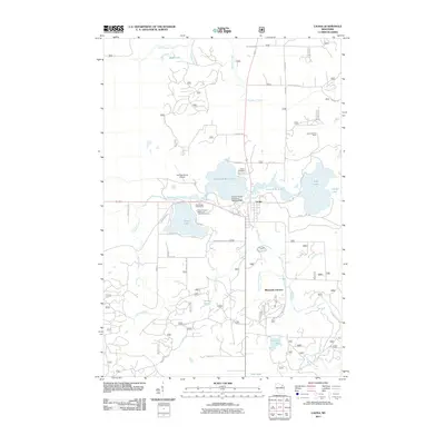
2011 Map of Laona
USGS Topo · Published 2011About this map
The timber and water resources of Forest County define this area, centered on the community of Laona. Industrial history is anchored by the Connor Forest Industries 1897C211 Dam along the Rat River, a site which reflects the early twentieth-century logging and milling operations that established the town. The landscape is characterized by a dense network of glacial lakes and wetlands, including Scattered Rice Lake, Birch Lake, and Silver Lake.
Find a feature on this map
48 named features on this map. Tap any name to fly to it.
Don’t see what you’re looking for? This feature index may not catch every label — zoom into the map to look around manually.
Map Details
Editions of this 2011 Laona Map
This is the sole edition of this map. No revisions or reprints were ever made.
Other maps of this area

1939 · Crandon
USGS Topo · 1:48,000

1939 · Laona
USGS Topo · 1:48,000

1941 · Crandon
USGS Topo · 1:48,000

1942 · Wabeno
USGS Topo · 1:48,000

1942 · Pearson
USGS Topo · 1:48,000

1946 · Laona
USGS Topo · 1:48,000

1947 · Crandon
USGS Topo · 1:48,000

1950 · Wabeno
USGS Topo · 1:48,000

1950 · Lily
USGS Topo · 1:48,000

1951 · Wabeno
USGS Topo · 1:48,000