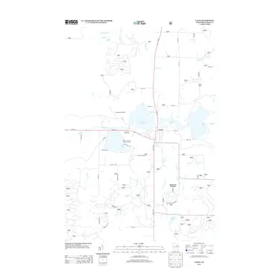
2013 Map of Laona
USGS Topo · Published 2013About this map
Laona serves as the central hub of this northern Wisconsin landscape, where the confluence of the Rat River and major roadways like Us HWY 8 and State HWY 32 dictates the local geography. The area is defined by a dense network of glacial water bodies, including Scattered Rice Lake, Little Birch Lake, and the larger Birch Lake to the east. The map detail highlights the intersection of recreation and utility, with the Silver Lake Golf Course and the Town of Laona Beach and Public Picnic Area positioned along the shores of Silver Lake.
Find a feature on this map
83 named features on this map. Tap any name to fly to it.
Don’t see what you’re looking for? This feature index may not catch every label — zoom into the map to look around manually.
Map Details
Editions of this 2013 Laona Map
This is the sole edition of this map. No revisions or reprints were ever made.
Other maps of this area

1939 · Crandon
USGS Topo · 1:48,000

1939 · Laona
USGS Topo · 1:48,000

1941 · Crandon
USGS Topo · 1:48,000

1942 · Wabeno
USGS Topo · 1:48,000

1942 · Pearson
USGS Topo · 1:48,000

1946 · Laona
USGS Topo · 1:48,000

1947 · Crandon
USGS Topo · 1:48,000

1950 · Wabeno
USGS Topo · 1:48,000

1950 · Lily
USGS Topo · 1:48,000

1951 · Wabeno
USGS Topo · 1:48,000