Loading...
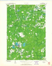
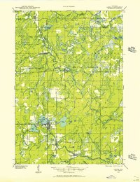
Loading map...1939 Map of Laona
USGS Topo · Published 1964About this map
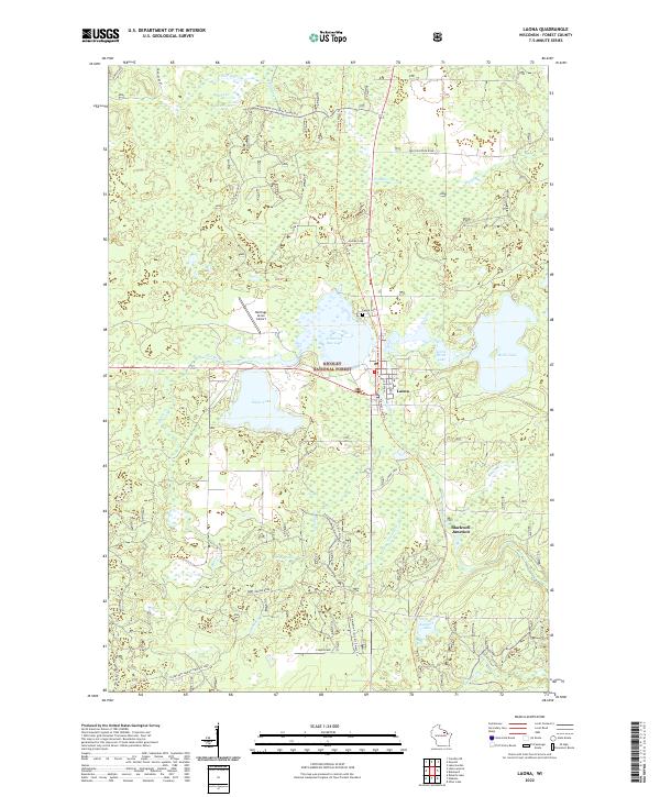
Laona serves as a central hub of activity in this 1939 survey, situated at the intersection of critical logging and regional transportation routes. The landscape reflects the timber-driven economy of Forest County, with the Lumber RR and Minneapolis St Paul and Sault Ste Marie railroad lines threading through the dense northern woods. Settlement patterns follow these rail corridors, connecting smaller outposts like Blackwell and Newald to the larger mills.
Find a feature on this map
52 named features on this map. Tap any name to fly to it.
Don’t see what you’re looking for? This feature index may not catch every label — zoom into the map to look around manually.
Map Details
Date Portrayed1939
Date Published1964
PublisherU.S. Geological Survey
Map TypeTopographic
Scale1:48,000
Physical Dimensions21.57 x 27.22 inches
Editions of this 1939 Laona Map
2 editions found
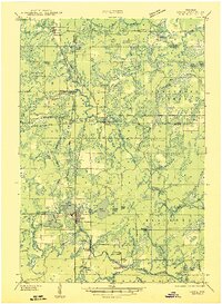
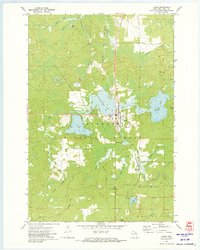
Historical Maps of Laona Through Time
4 maps found
Featured Locations
Source Details
SourceU.S. Geological Survey
CopyrightPublic Domain