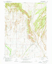
1964 Map of Lapoint
USGS Topo · Published 1978About this map
The Uintah and Ouray Indian Reservation dominates the landscape of this mid-1960s survey, illustrating a region defined by complex water management and indigenous history. The Old Indian Treaty Boundary and Old Indian Valley Road cross the terrain, marking historic lines of movement and jurisdiction. The small settlements of Tridell and Lapoint serve as local hubs, each with its own community space like the Tridell Cemetery and Lapoint Cemetery.
Find a feature on this map
21 named features on this map. Tap any name to fly to it.
Don’t see what you’re looking for? This feature index may not catch every label — zoom into the map to look around manually.
Map Details
Editions of this 1964 Lapoint Map
2 editions found
Other maps of this area

1885 · Ashley
USGS Topo · 1:250,000

1906 · Marsh Peak
USGS Topo · 1:125,000

1908 · Marsh Peak
USGS Topo · 1:125,000

1917 · Vernal
USGS Topo · 1:125,000

1954 · Vernal
USGS Topo · 1:250,000

1958 · Vernal
USGS Topo · 1:250,000

1960 · Vernal
USGS Topo · 1:250,000
1964 · Fort Duchesne
USGS Topo · 1:24,000

1964 · Lapoint
USGS Topo · 1:24,000
1964 · Whiterocks
USGS Topo · 1:24,000