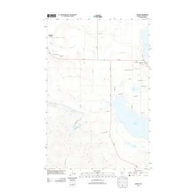
2013 Map of Laporte
USGS Topo · Published 2013About this map
Laporte sits at the junction of State 200 and State 64, serving as a central point in this lake-rich region of Hubbard County. The landscape is defined by the expansive Kabekona Lake to the southeast and the winding course of the Kabekona River as it moves toward Garfield Lake. Local heritage is anchored by several burial sites, including Saint Theodores Cem near the town center and Evergreen Cem further west along Old Cemetary Rd. To the south, the terrain becomes increasingly complex with clusters of smaller water bodies such as Little Gulch Lakes, Bass Lakes, and Lake Twentyone. The presence of Robco Airport and a network of forest trails like Lake 21 Forest Trl indicates a mix of local aviation and recreational land use typical of the northern Minnesota woods in the early 21st century.
Find a feature on this map
45 named features on this map. Tap any name to fly to it.
Don’t see what you’re looking for? This feature index may not catch every label — zoom into the map to look around manually.
Map Details
Editions of this 2013 Laporte Map
This is the sole edition of this map. No revisions or reprints were ever made.
Other maps of this area

1954 · Bemidji
USGS Topo · 1:250,000

1957 · Bemidji
USGS Topo · 1:250,000

1958 · Bemidji
USGS Topo · 1:250,000

1968 · Guthrie
USGS Topo · 1:24,000

1968 · Frontenac Lake
USGS Topo · 1:24,000
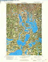
1972 · Mantrap Lake
USGS Topo · 1:24,000
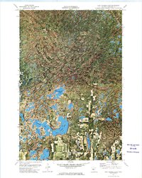
1972 · East Crooked Lake
USGS Topo · 1:24,000

1972 · Benedict
USGS Topo · 1:24,000

1972 · Laporte
USGS Topo · 1:24,000

1972 · Lake George
USGS Topo · 1:24,000