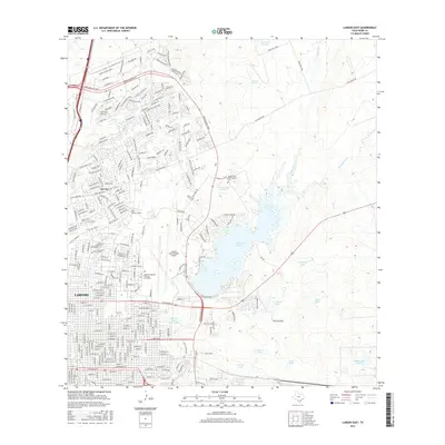
2016 Map of Laredo East
USGS Topo · Published 2016About this map
The expanding eastern districts of Laredo and the adjacent community of Del Mar define this modern landscape in Webb County. The presence of Texas A & M International Univ and the Laredo International Airport indicates a high degree of 21st-century institutional and transportation infrastructure. While suburban development is dense in the western portions, the eastern half remains dominated by hydrological features and ranching landmarks.
Find a feature on this map
251 named features on this map. Tap any name to fly to it.
Don’t see what you’re looking for? This feature index may not catch every label — zoom into the map to look around manually.
Map Details
Editions of this 2016 Laredo East Map
This is the sole edition of this map. No revisions or reprints were ever made.
Other maps of this area

1933 · Becerra Creek
USGS Topo · 1:62,500

1956 · Islitas
USGS Topo · 1:62,500

1956 · Laredo East
USGS Topo · 1:62,500

1956 · Laredo
USGS Topo · 1:250,000

1965 · Laredo West
USGS Topo · 1:24,000

1965 · Orvil
USGS Topo · 1:24,000

1965 · Cuervo Creek
USGS Topo · 1:24,000

1965 · Cibolo Ranch
USGS Topo · 1:24,000

1965 · Tios Creek
USGS Topo · 1:24,000

1965 · Laredo East
USGS Topo · 1:24,000