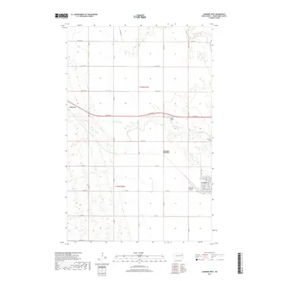
2017 Map of Larimore West
USGS Topo · Published 2017About this map
Larimore anchors the southeastern corner of this Grand Forks County landscape, where the town's residential grid meets the open agricultural expanses of eastern North Dakota. The area is defined by the winding paths of the N Br Turtle River and S Br Turtle River, which cut across the prairie alongside smaller drainages like Whisky Cr. Transportation and aviation history are evident here, with the Larimore Municipal Airport and Bakke Airport serving the region, while the small settlement of Shawnee and the rail-related Hannah Junction mark historically significant points on the map. Local history is further grounded at the Bellevue Cem on the eastern edge. A vast network of section-line roads, including Co Rd 20 and 19th Ave NE, provides the structural framework for the rural homesteads and townships within t152n r55w and t151n r55w.
Find a feature on this map
37 named features on this map. Tap any name to fly to it.
Don’t see what you’re looking for? This feature index may not catch every label — zoom into the map to look around manually.
Map Details
Editions of this 2017 Larimore West Map
This is the sole edition of this map. No revisions or reprints were ever made.
Other maps of this area

1936 · Larimore
USGS Topo · 1:62,500

1939 · Niagara
USGS Topo · 1:62,500

1952 · Grand Forks
USGS Topo · 1:250,000

1952 · Thief River Falls
USGS Topo · 1:250,000

1956 · Thief River Falls
USGS Topo · 1:250,000

1956 · Grand Forks
USGS Topo · 1:250,000

1957 · Thief River Falls
USGS Topo · 1:250,000

1963 · Orr
USGS Topo · 1:24,000

1963 · Larimore East
USGS Topo · 1:24,000

1963 · Kempton
USGS Topo · 1:24,000