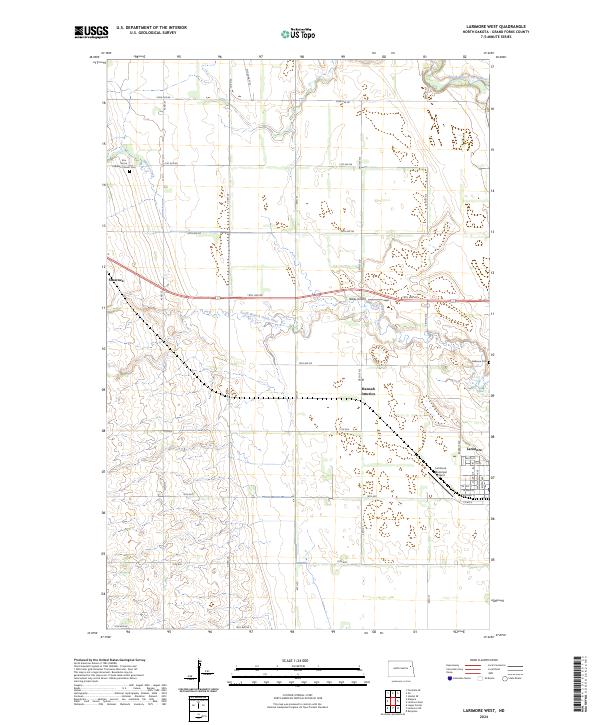
2024 Map of Larimore West
USGS Topo · Published 2024About this map
Larimore sits on the eastern edge of this Grand Forks County landscape, where the town grid meets the agricultural reaches of eastern North Dakota. The area is defined by the winding paths of the North Branch Turtle River and South Branch Turtle River, which cut through a terrain strictly organized by a network of rural roads such as 22nd Ave NE and Co Rd 20. For those tracing local heritage, the Elm Grove Lutheran Church Cem and Bellevue Cem serve as vital historical touchstones.
Find a feature on this map
40 named features on this map. Tap any name to fly to it.
Don’t see what you’re looking for? This feature index may not catch every label — zoom into the map to look around manually.
Map Details
Editions of this 2024 Larimore West Map
This is the sole edition of this map. No revisions or reprints were ever made.
Other maps of this area

1936 · Larimore
USGS Topo · 1:62,500

1939 · Niagara
USGS Topo · 1:62,500

1952 · Grand Forks
USGS Topo · 1:250,000

1952 · Thief River Falls
USGS Topo · 1:250,000

1956 · Thief River Falls
USGS Topo · 1:250,000

1956 · Grand Forks
USGS Topo · 1:250,000

1957 · Thief River Falls
USGS Topo · 1:250,000

1963 · Orr
USGS Topo · 1:24,000

1963 · Larimore East
USGS Topo · 1:24,000

1963 · Kempton
USGS Topo · 1:24,000