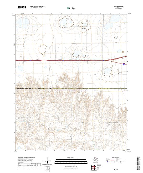
2022 Map of Lark
USGS Topo · Published 2022About this map
The settlement of Lark anchors the northern portion of this Texas Panhandle landscape, where the flat upland plains of the Llano Estacado begin their dramatic descent into the erosional breaks of the southern region. The boundary between Carson Co and Armstrong Co bisects the map, separating the organized grid of agricultural section roads like Co Rd 1 and Co Rd 2 from the more irregular topography to the south. This transition is marked by the headwaters of the Salt Fork Red River, which has carved a complex network of canyons and draws through the caprock. Local history and genealogy interests are centered around Groom Cem in the east and the transit corridor provided by Ranch Rd 2880, illustrating how modern infrastructure follows the natural contours of this high-plains environment.
Find a feature on this map
18 named features on this map. Tap any name to fly to it.
Don’t see what you’re looking for? This feature index may not catch every label — zoom into the map to look around manually.
Map Details
Editions of this 2022 Lark Map
This is the sole edition of this map. No revisions or reprints were ever made.
Other maps of this area

1954 · Amarillo
USGS Topo · 1:250,000

1958 · Amarillo
USGS Topo · 1:250,000

1960 · Claude
USGS Topo · 1:62,500

1960 · Groom
USGS Topo · 1:62,500

1966 · Grandview School
USGS Topo · 1:24,000

1966 · Panhandle East
USGS Topo · 1:24,000

1966 · White Deer SW
USGS Topo · 1:24,000
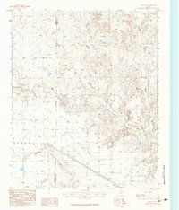
1983 · Ashtola
USGS Topo · 1:24,000
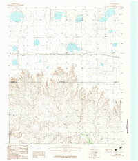
1983 · Lark
USGS Topo · 1:24,000
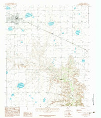
1983 · Claude
USGS Topo · 1:24,000