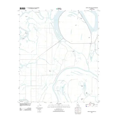
2012 Map of Larto Lake South
USGS Topo · Published 2012About this map
Larto Lake dominates the upper landscape of this Catahoula Parish survey, where the water's edge is defined by a series of petroleum developments including the Larto Oil Field and the Book Oil Field. The region's complex hydrology is evident in the network of bayous and cutoffs, such as Shoe Bayou and the Powell Cutoff, which connect larger bodies like the Red River to the inland wetlands. Small settlements like Larto and Argo serve as the primary human hubs in this watery terrain.
Find a feature on this map
45 named features on this map. Tap any name to fly to it.
Don’t see what you’re looking for? This feature index may not catch every label — zoom into the map to look around manually.
Map Details
Editions of this 2012 Larto Lake South Map
This is the sole edition of this map. No revisions or reprints were ever made.
Other maps of this area

1935 · Tooleys
USGS Topo · 1:62,500

1940 · Marksville
USGS Topo · 1:62,500

1941 · Voorhies
USGS Topo · 1:62,500

1941 · Buckeye
USGS Topo · 1:62,500

1941 · Tooleys
USGS Topo · 1:62,500

1953 · Alexandria
USGS Topo · 1:250,000

1953 · Natchez
USGS Topo · 1:250,000

1955 · Alexandria
USGS Topo · 1:250,000

1956 · Natchez
USGS Topo · 1:250,000

1959 · Natchez
USGS Topo · 1:250,000