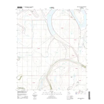
2015 Map of Larto Lake South
USGS Topo · Published 2015About this map
The Red River defines the southern portion of this landscape at the boundary of Catahoula and Avoyelles parishes. The region is dominated by an intricate network of wetlands, sloughs, and brakes, centered around the expansive Larto Lake and its associated Dry Larto Island. Small settlements like Larto and Argo are situated along the waterways, connected by roads such as La-3102 and La-124 that skirt the edges of the flood-prone terrain.
Find a feature on this map
57 named features on this map. Tap any name to fly to it.
Don’t see what you’re looking for? This feature index may not catch every label — zoom into the map to look around manually.
Map Details
Editions of this 2015 Larto Lake South Map
This is the sole edition of this map. No revisions or reprints were ever made.
Other maps of this area

1935 · Tooleys
USGS Topo · 1:62,500

1940 · Marksville
USGS Topo · 1:62,500

1941 · Voorhies
USGS Topo · 1:62,500

1941 · Buckeye
USGS Topo · 1:62,500

1941 · Tooleys
USGS Topo · 1:62,500

1953 · Alexandria
USGS Topo · 1:250,000

1953 · Natchez
USGS Topo · 1:250,000

1955 · Alexandria
USGS Topo · 1:250,000

1956 · Natchez
USGS Topo · 1:250,000

1959 · Natchez
USGS Topo · 1:250,000