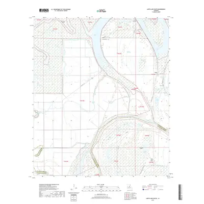
2018 Map of Larto Lake South
USGS Topo · Published 2018About this map
Larto and Argo anchor this riverine landscape where the boundaries of Catahoula Parish and Avoyelles Parish meet along the winding Red River. The region is defined by a dense network of swampy brakes and bayous, including the prominent Larto Lake and its associated Larto Bayou. The topography reveals the complex hydrology of the Louisiana lowlands, featuring numerous cutoffs and sloughs like Powell Cutoff and Cow Pen Slough.
Find a feature on this map
59 named features on this map. Tap any name to fly to it.
Don’t see what you’re looking for? This feature index may not catch every label — zoom into the map to look around manually.
Map Details
Editions of this 2018 Larto Lake South Map
This is the sole edition of this map. No revisions or reprints were ever made.
Other maps of this area

1935 · Tooleys
USGS Topo · 1:62,500

1940 · Marksville
USGS Topo · 1:62,500

1941 · Voorhies
USGS Topo · 1:62,500

1941 · Buckeye
USGS Topo · 1:62,500

1941 · Tooleys
USGS Topo · 1:62,500

1953 · Alexandria
USGS Topo · 1:250,000

1953 · Natchez
USGS Topo · 1:250,000

1955 · Alexandria
USGS Topo · 1:250,000

1956 · Natchez
USGS Topo · 1:250,000

1959 · Natchez
USGS Topo · 1:250,000