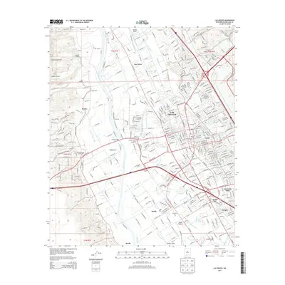
2013 Map of Las Cruces
USGS Topo · Published 2013About this map
Las Cruces serves as the focal point of this 2013 study, illustrating the dense concentration of civic and historic sites between the Rio Grande and the foothills of the Robledo Mountains. The city's growth is framed by its proximity to the University Park area and the historic village of Mesilla, where the San Albino Ch stands as a local landmark. A complex network of irrigation features, including the Leasburg Canal, Dona Ana Lateral, and Mesilla Drain, reveals the region’s long-standing reliance on managed water systems to sustain the valley floor. To the east, the At&Sf Rr runs parallel to established corridors, while legacy burial grounds such as Odd Fellows Cem and Saint Joseph Cemeteries provide points of interest for genealogists. The map also captures the distinct suburban boundaries of Fairacres and Tortugas, showing how these communities have integrated with the expanding urban reach of the county seat.
Find a feature on this map
59 named features on this map. Tap any name to fly to it.
Don’t see what you’re looking for? This feature index may not catch every label — zoom into the map to look around manually.
Map Details
Editions of this 2013 Las Cruces Map
This is the sole edition of this map. No revisions or reprints were ever made.
Other maps of this area

1891 · Las Cruces
USGS Topo · 1:125,000

1893 · Las Cruces
USGS Topo · 1:125,000

1941 · Las Cruces
USGS Topo · 1:62,500

1941 · Organ Peak
USGS Topo · 1:62,500

1943 · La Mesa
USGS Topo · 1:62,500

1943 · Organ Peak
USGS Topo · 1:62,500

1943 · Afton
USGS Topo · 1:62,500

1943 · Las Cruces
USGS Topo · 1:62,500
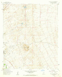
1955 · Tortugas Mountain
USGS Topo · 1:24,000
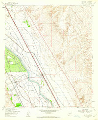
1955 · San Miguel
USGS Topo · 1:24,000