
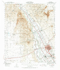
1941 Map of Las Cruces
USGS Topo · Published 1958About this map
The Rio Grande valley dominates this landscape, serving as a corridor for settlement and agriculture just before the mid-century expansion of the region. The map captures the irrigation network essential to the valley's economy, including the Leasburg Canal and Mesilla Civil Drainage Canal, which fed the fields surrounding Las Cruces. To the north, the Ruins of Fort Selden stand near the Leasburg Dam, marking a point where military history meets modern water management.
Find a feature on this map
59 named features on this map. Tap any name to fly to it.
Don’t see what you’re looking for? This feature index may not catch every label — zoom into the map to look around manually.
Map Details
Editions of this 1941 Las Cruces Map
2 editions found
Other maps of this area

1891 · Las Cruces
USGS Topo · 1:125,000

1893 · Las Cruces
USGS Topo · 1:125,000

1916 · Tonuco
USGS Topo · 1:125,000

1932 · Tonuco
USGS Topo · 1:125,000

1941 · Organ Peak
USGS Topo · 1:62,500

1941 · Aden
USGS Topo · 1:62,500

1943 · La Mesa
USGS Topo · 1:62,500

1943 · Aden
USGS Topo · 1:62,500

1943 · Organ Peak
USGS Topo · 1:62,500

1943 · Corralitos Ranch
USGS Topo · 1:62,500