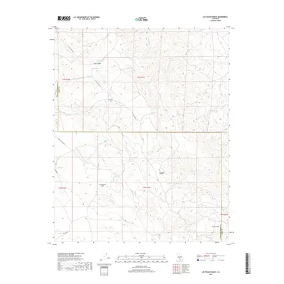
2018 Map of Las Yeguas Ranch
USGS Topo · Published 2018About this map
The San Andreas Fault cuts a prominent geological path through this portion of the Temblor Range, marking a dramatic boundary between the coastal and inland tectonic plates. Situated on the border of Kern and San Luis Obispo counties, the landscape is defined by its network of ephemeral water sources and canyons, including Carneros Canyon and Cedar Canyon. The eponymous Las Yeguas Ranch stands as a primary human landmark in an area otherwise characterized by springs like Antelope Spring, Walnut Spring, and Wagal Spring. Access to this remote rangeland is provided by unpaved routes such as Cedar Canyon Rd and Soda Lake Rd, which connect the interior drainage of Yeguas Cr and Media Agua Cr to the surrounding high country.
Find a feature on this map
29 named features on this map. Tap any name to fly to it.
Don’t see what you’re looking for? This feature index may not catch every label — zoom into the map to look around manually.
Map Details
Editions of this 2018 Las Yeguas Ranch Map
This is the sole edition of this map. No revisions or reprints were ever made.
Other maps of this area

1912 · McKittrick
USGS Topo · 1:125,000

1914 · Lost Hills
USGS Topo · 1:125,000

1914 · Cholame
USGS Topo · 1:125,000

1915 · Cholame
USGS Topo · 1:125,000

1917 · Cholame
USGS Topo · 1:125,000

1932 · La Panza
USGS Topo · 1:48,000

1935 · La Panza
USGS Topo · 1:62,500

1936 · La Panza
USGS Topo · 1:62,500

1943 · Packwood
USGS Topo · 1:31,680

1943 · Simmler
USGS Topo · 1:62,500