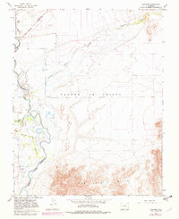
1965 Map of Lasauses
USGS Topo · Published 1982About this map
Lasauses serves as a focal point in this high-desert valley where the Rio Grande and Conejos River converge. The landscape is defined by its complex water management and historical boundaries, including the Grant Boundary and various county lines. To the north, the Alamosa National Wildlife Refuge provides a sanctuary near Hansen Bluff, while numerous flowing wells across the flats suggest the importance of groundwater for the local agricultural economy.
Find a feature on this map
19 named features on this map. Tap any name to fly to it.
Don’t see what you’re looking for? This feature index may not catch every label — zoom into the map to look around manually.
Map Details
Editions of this 1965 Lasauses Map
3 editions found
Other maps of this area

1954 · Trinidad
USGS Topo · 1:250,000

1955 · Trinidad
USGS Topo · 1:250,000

1958 · Trinidad
USGS Topo · 1:250,000

1959 · Trinidad
USGS Topo · 1:250,000

1965 · Blanca
USGS Topo · 1:24,000

1965 · Baldy
USGS Topo · 1:24,000

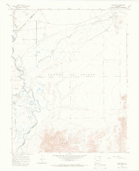
1965 · Lasauses
USGS Topo · 1:24,000

1965 · Blanca SE
USGS Topo · 1:24,000
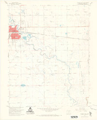
1966 · Alamosa East
USGS Topo · 1:24,000

1967 · Manassa NE
USGS Topo · 1:24,000