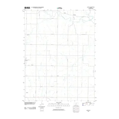
2009 Map of Lasita
USGS Topo · Published 2009About this map
May Day and Green anchor this rural northern Kansas landscape, where the agricultural grid is defined by a dense network of numbered roads and named lanes. The survey captures a quiet prairie environment where small communities are interconnected by paths like Senn Rd and Walsburg Rd. Local history is deeply embedded in the land through numerous burial sites, including the May Day Cemetery near the banks of West Fancy Creek and the Fancy Creek Cemetery further west.
Find a feature on this map
35 named features on this map. Tap any name to fly to it.
Don’t see what you’re looking for? This feature index may not catch every label — zoom into the map to look around manually.
Map Details
Editions of this 2009 Lasita Map
This is the sole edition of this map. No revisions or reprints were ever made.
Other maps of this area

1886 · Junction City
USGS Topo · 1:125,000

1889 · Marysville
USGS Topo · 1:125,000

1889 · Junction City
USGS Topo · 1:125,000

1891 · Clay Center
USGS Topo · 1:125,000

1893 · Washington
USGS Topo · 1:125,000

1894 · Junction City
USGS Topo · 1:125,000

1894 · Marysville
USGS Topo · 1:125,000

1955 · Manhattan
USGS Topo · 1:250,000

1956 · Manhattan
USGS Topo · 1:250,000

1957 · Manhattan
USGS Topo · 1:250,000