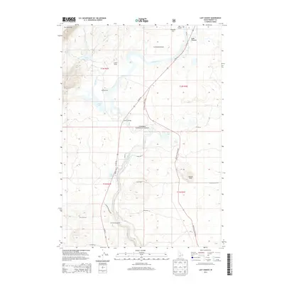
2013 Map of Last Chance
USGS Topo · Published 2013About this map
Henrys Fork dominates the hydrology of this Idaho landscape, carving through the Targhee National Forest and passing under the Osborne Bridge. The river's path is defined by complex terrain, from the heights of Thurmon Ridge and the Continental Divide to the steep relief of Box Canyon. Water features are abundant across the terrain, including Golden Lake, Silver Lake, and Swan Lake, which sit adjacent to the historic Railroad Ranch.
Find a feature on this map
38 named features on this map. Tap any name to fly to it.
Don’t see what you’re looking for? This feature index may not catch every label — zoom into the map to look around manually.
Map Details
Editions of this 2013 Last Chance Map
This is the sole edition of this map. No revisions or reprints were ever made.
Other maps of this area

1955 · Ashton
USGS Topo · 1:250,000

1958 · Ashton
USGS Topo · 1:250,000

1960 · Ashton
USGS Topo · 1:250,000

1964 · Hatchery Butte
USGS Topo · 1:24,000

1964 · Island Park
USGS Topo · 1:24,000

1964 · Island Park Dam
USGS Topo · 1:24,000

1964 · Last Chance
USGS Topo · 1:24,000

1965 · Lookout Butte
USGS Topo · 1:24,000

1965 · Snake River Butte
USGS Topo · 1:24,000

1965 · Blue Creek Reservoir
USGS Topo · 1:24,000