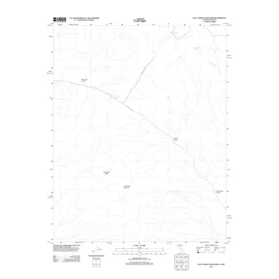
2012 Map of Last Chance Mountain
USGS Topo · Published 2012About this map
Last Chance Mountain and the surrounding Last Chance Range dominate this high-desert landscape along the California-Nevada border. The map reveals a reliance on vital water sources scattered across the arid terrain, including several named points such as Cucomungo Spring, Uncle Sam Spring, and the aptly named Poison Spring. Transport across the region is limited to a few primitive routes like Last Chance Rd and Willow Creek Rd, which navigate between prominent geological features like White Cliff Canyon and Copper Canyon. The drainage patterns of Willow Cr and Alum Cr define the watersheds in this isolated area, which remains largely untouched by development, focusing instead on the naturally occurring landmarks and springs that have long dictated human passage through these mountains.
Find a feature on this map
16 named features on this map. Tap any name to fly to it.
Don’t see what you’re looking for? This feature index may not catch every label — zoom into the map to look around manually.
Map Details
Editions of this 2012 Last Chance Mountain Map
This is the sole edition of this map. No revisions or reprints were ever made.
Other maps of this area

1908 · Lida
USGS Topo · 1:250,000

1913 · Lida
USGS Topo · 1:250,000

1954 · Goldfield
USGS Topo · 1:250,000

1955 · Goldfield
USGS Topo · 1:250,000

1957 · Magruder Mtn
USGS Topo · 1:62,500

1958 · Goldfield
USGS Topo · 1:250,000

1958 · Last Chance Range
USGS Topo · 1:62,500

1958 · Soldier Pass
USGS Topo · 1:62,500
1958 · Waucoba Spring
USGS Topo · 1:62,500

1962 · Goldfield
USGS Topo · 1:250,000