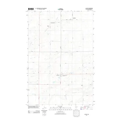
2013 Map of Lastrup
USGS Topo · Published 2013About this map
Lastrup and its surrounding townships in Morrison County reveal a landscape defined by small-scale agriculture and deep-rooted community institutions in this 2013 survey. The settlement pattern is anchored by religious and civic landmarks, notably the Saint Mary's Polish National Catholic Cem and Saint John Nepomucene Catholic Cem, which point to the ethnic heritage of the area's early settlers. The intersection of MN-27 and 285th Ave serves as the local commercial and social hub, where the Post Office and nearby schools historically gathered the rural population.
Find a feature on this map
39 named features on this map. Tap any name to fly to it.
Don’t see what you’re looking for? This feature index may not catch every label — zoom into the map to look around manually.
Map Details
Editions of this 2013 Lastrup Map
This is the sole edition of this map. No revisions or reprints were ever made.
Other maps of this area

1948 · Pierz
USGS Topo · 1:62,500

1948 · Lastrup
USGS Topo · 1:62,500

1950 · Lastrup
USGS Topo · 1:62,500

1950 · Pierz
USGS Topo · 1:62,500

1953 · Duluth
USGS Topo · 1:250,000

1953 · Brainerd
USGS Topo · 1:250,000

1953 · Saint Cloud
USGS Topo · 1:250,000

1953 · Stillwater
USGS Topo · 1:250,000

1955 · Stillwater
USGS Topo · 1:250,000

1957 · Brainerd
USGS Topo · 1:250,000